Map: Pierre to the Pole (2,998 miles)
Jul
2
7:00 AM07:00

Map: Pierre to the Pole (2,998 miles)

Unfortunately my blogs from May 20 (departure from Pierre, South Dakota) through June 2 (Macklin, Saskatchewan) has been accidently deleted. The original planning map is attached to view the whole route.

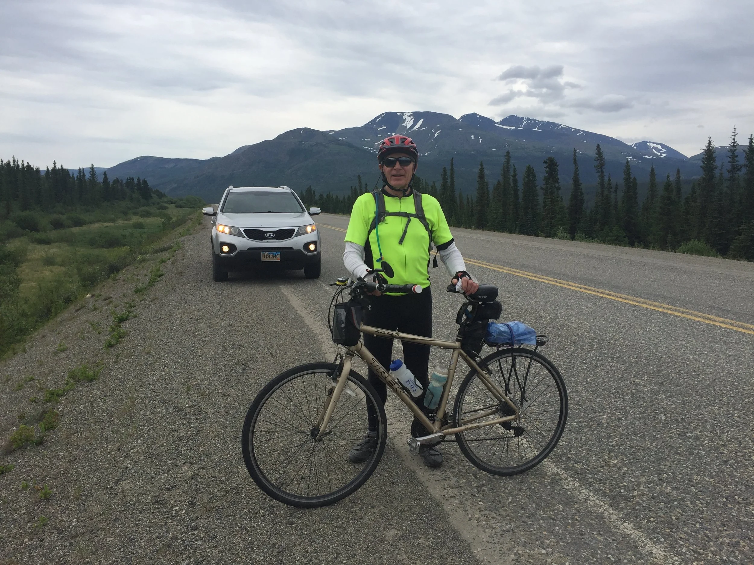
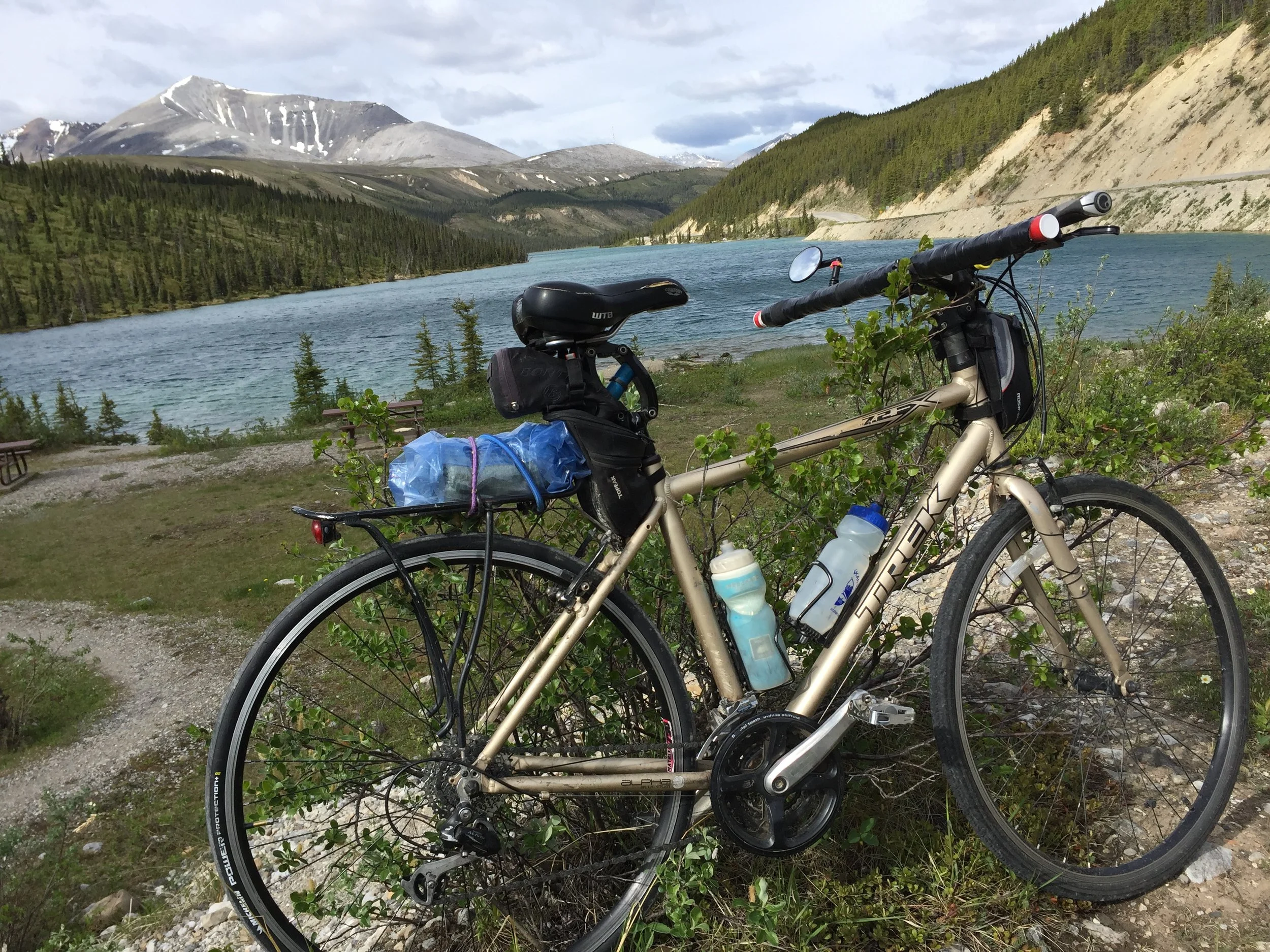
The mileage map estimated 3012 miles which included distance estimated to lodging, but the actual bike mileage turned out to be 2,998 excluding the last 3 miles of June 16. That day, in the mountains of southern Yukon Territory, my original rear tire blew descending a mountain. I had no phone or Internet service so I could not contact my wife who was carrying extra parts, nor was I carrying an extra tire.

With those three miles, the trip would have exceeded 3000 miles. As I was beginning to push my bike the last three miles to Testa River Lodge, our planned overnight rest, a Coastguardsman transferring to Kodiak, Alaska stopped offering help. We loaded my bike into the back of his crammed pickup truck and I squeezed in with his family of five. Hence, this trip was just under 3000 miles.

I hope you enjoy these summaries as much as I enjoyed the ride. Check out the story in my hometown newspaper, The Ipswich Tribune: https://www.ipswichtribune.com/story/2018/11/21/news/71-ihs-grad-bicycled-from-pierre-to-north-pole/424.html

View Event →
Pierre to the Pole epilogue
Jul
1
7:00 AM07:00

Pierre to the Pole epilogue

Retirement is a joy when we can do what you want. My wife, Patricia, and I want to thank everyone for your encouragement over the 42 days I biked from Pierre, South Dakota to North Pole, Alaska.

A brief data summary: Total miles: 2,998 (4,997 kilometers). By state/province: South Dakota: 103; North Dakota: 303; Saskatchewan: 509; Alberta: 520; British Columbia: 564; Yukon Territory: 690; Alaska: 309. (Mileage based on overnight lodging.)

Days biked: 40 (+ 2 rain days). SD: 2; ND: 4; SK: 6 + 1 rain day; AB: 7 +1 rain day; BC: 9; YT: 9; AK: 3.

 Average miles per day: 75. Average hours biking (including breaks): 8.0 hours. Average bike speed: 10.5 miles per hour.

Total Elevation gain: 59,200 feet. By state/province: SD: 1,145; ND: 3,309; SK: 1,520; AB: 6,788; BC: 21,415; YT: 19,458; AK: 5,565.

Total (Garmin) estimated calories burned biking: 132,469. My beginning weight: 183 pounds, ending weight: 182 pounds. Eating pattern: Daily vitamins before ride; banana one hour after start; peanut butter/jelly sandwich two hours after start; snack during ride (generally supplied by my wife) a bakery roll, boiled egg(s), milk, snack crackers, candy bar; one to two protein bars during the day;  and a huge meal in the afternoon or early evening (two meals if I completed the day by noon). Meals were very generous portions of pasta, potatoes, or rice. For speedy digestion, carbohydrates were the main calorie source with small meat portions. Note: I take no medications. In order to anticipate muscle or joint failure I took no pain relief (except one Tylenol one evening).

Liquids consumed: Averaged two to three gallons (4-12 liters) of water/day supplemented with one to three electrolyte drinks, a protein drink after completion, glass(es) of milk during meal, a beer and sometimes a glass of red wine in evening. (I try to avoid all caffeine.)

An epilogue has more meaning than data. My brother-in-law, Rob Boyer, wrote this poem after my final blog post. It summarizes my ride.

IF YOU BELIEVE, YOU CAN ACHIEVE,
The year has arrived, that Gary had planned for
His desire to ride, from Pierre to the Pole
His announcement was met, with doubt and smiles
That he would be able, to complete 3000 miles.
With each revolution, more miles he would gain
Each night he would rest, and work thru the pain
With wildlife beside him, and drafting behind
Again many thought, he's out of his mind
With mountains to climb, and valley's to coast
He stayed steady at it, with nature his host
The mishaps were there, they did not deter
For he was determined, after all he’s from Pierre
As a Veteran he's proud, to have served this great land
And of the Coast Guardsmen who stopped, to lend him a hand
His Sag wagon near, with most of his gear
His comfort was knowing, Patricia was near
He was met at the Pole, with a small proud militia
Seth ,Liesl, Addie, Gretchen, Cora and Cheri
And his travel companion, and wife Patricia
As he finished his quest, with emotion and pride
He thanked Friends and Family, for support during his ride.
Rob Boyer

With peace of mind, I rode. Nobody pressured me to ride on nor stop. Although I wore soft ear plugs to cut down on road and wind noise, with clarity I could hear sounds from the woods and birds chirping for encouragement. At first I carried a small radio anticipating weather alerts. Two days, I listened an hour or so. I found it (commercials, news, weather, sports, and music) extremely distracting. Spiritual simplicity and nature were what I wanted. Simple. Clear. Ever-present. For weather, I watched clouds and felt wind just as those throughout the centuries. The past hundred years brought electronic confusion into all lives. I found it overwhelmingly peaceful without it during this ride and hope to blend old and new realities to close life's chapter.

View Event →
Delta Junction to North Pole, Alaska (87 miles)
Jun
30
6:00 AM06:00

Delta Junction to North Pole, Alaska (87 miles)

Made it! Pierre, South Dakota to North Pole, Alaska in 42 days. Preliminary mileage indicates 2,998 miles.

As the North Pole city limit sign came into view, I felt my whole body cave with emotion—a feeling I have never experienced. As I biked down off the 4-lane highway exit, I could see a group of people and bicycles waiting with a red Finish Line. I was completely astonished. My nieces, nephew, and three grand nieces were cheering. What an unexpected welcome! See today’s photo.

It is the support I received that made this trip a reality. First, my wife, Patricia, has heard my dream—too many times. Supplies in our sag wagon car were minor compared to the decades we have supported each other. Secondly, our son, Wyatt, an emergency doctor and acupuncturist, is the ONLY reason I could physically bike 3,000 miles. After suffering plantar fasciitis last year for eight months, he gave me two acupuncture treatments on my leg and put me on a muscle stretching regiment. Within two weeks, I was back to my usual ten to fifteen mile weekly hikes. He allowed me to bike with absolutely no symptoms. Thirdly, our two daughters have physically and mentally reset their lives. They have set examples to follow. The fourth support list is so long. I cannot begin to list and thank everyone from family and friends to a following of many in many countries.

It is all of you that motivated me. I hope in some small way, I have encouraged you to exercise or take on a challenge too long delayed.

Seven years ago I applied for leave without pay which combined with accrued personal time, I was going to bike from South Dakota to Alaska. The application was denied. Now retired for six years objective accomplishmented at age 65. Age is not the limiting factor, it is personal willingness to take on, and accomplish something that you have been delaying for too long.

Now it is your turn.


View Event →
TOk to Delta Junction, AK (107 miles)
Jun
29
9:22 AM09:22

TOk to Delta Junction, AK (107 miles)

What is likely my second to last day of this trip, I slept in until 7:10 in order to enjoy a huge breakfast at the Cleft of the Rock B&B just outside of Tok.

We were advised the stretch of Alaska Highway from Tok to Delta Junction was mostly flat. It was with only 1,515 elevation gain in the 107 miles.

Today’s major event was as an animal attack. Actually, two of them. In Alaska most likely I would expect bear or moose. Instead, two fat dogs attached from a rural cabin. I hollered at them as I picked up speed. Dogs like to chase bikes. In all the years of biking, I have always been able to outrun them. Only four dogs attacked me  on this trip with the last being in Alberta at about 1100 miles.

Good and bad news: Good: The dogs backed off right away. Bad: Unfortunately, they were likely overfed house dogs who will be a bear meal or two before the summer is over. Bad # 2: I broke my new replacement chain as I slammed on the pedals to escape. It was not too bad as Patricia was close behind and seen the attack. We quickly put on the old original worn chain (I replaced at 1,699 miles) and I was biking again within the half hour.

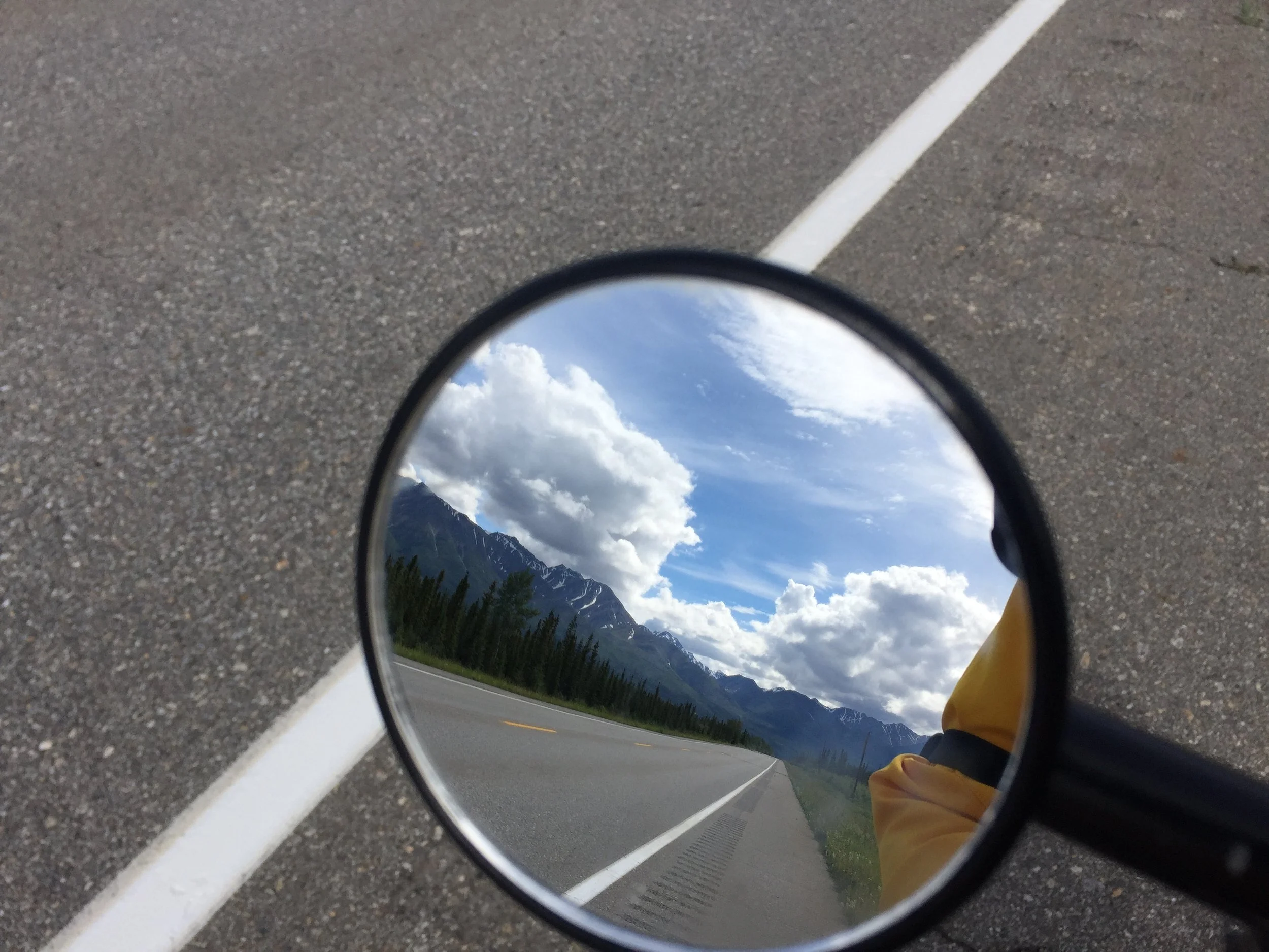
Today’s photo is my mirror looking back at a different view than I seen as I passed looking ahead. Looking back, I am glad I saved my old chain. Secondly, as I near the end of this trip, I often look back to see what I may have missed. Many times over the past month I would stop and look back and really see what my mirror summarized. Too many times we pass what we should have taken more time to observe and understand.

View Event →
Beaver Creek, Yukon Territory to Tok, Alaska (115 miles)
Jun
29
6:22 AM06:22

Beaver Creek, Yukon Territory to Tok, Alaska (115 miles)

It is twenty miles from the Canadian Customs and Immigration border crossing at Beaver Creek to the Alaska border, then another quarter mile to the U.S. Customs border crossing. Not that it would make any difference; there are no other roads, just the Alaska Highway through the mountain foothills and marshes.

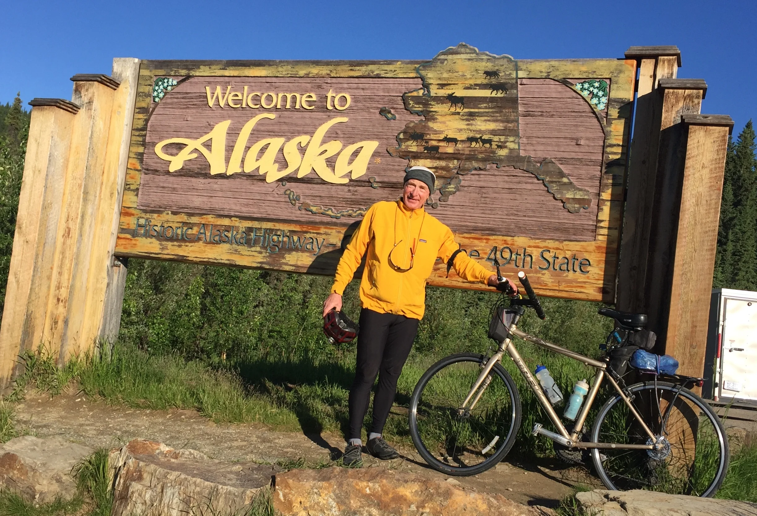
Today’s photo is not a selfie at the Alaska border. Why?

My back tire went low about three miles before the border, but the tire fluid kept it from going completely flat. I was going to wait at the border for Patricia, since there was no cell phone service. Within a couple minutes a pickup pulled up and offered to take my photo if I would take theirs. We did.

As they were departing, they asked where I was going. I mentioned North Pole, but I had to wait for my wife because my bike tire was low. The driver said, “No problem. I have a small air compressor.”

As we were pumping up the tire, I asked where they were heading. The driver said, “Kodiak. I’m in the Coast Guard transferring from Florida to Kodiak.”

I have biked over 2,700 miles; had two flat tires at that point, and the first vehicle to arrive agreed to help me and they were both U.S. Coastguardsman. With all the Alaska Highway traffic, what are the chances the first vehicle after both flat tires were Coastguardsman?

I needed help, and they were there and willing to help. 

The tire went completely flat eight miles later. Patricia had stopped and took a half hour hike. I flagged down a vehicle and they found Patricia returning to her car. She came with our extra replacement tire and tube.

It was a long ride (115 miles) with NO town between Beaver Creek and Tok.

My troubles were not over. About 65 miles into my ride, I picked up a small piece of metal that punctured my back tire again. Fortunately, Patricia was close behind, and we repaired the flat quickly with a patch.

Not that it makes any difference, but we asked two people about the Highway between Beaver Creek and Tok. Both reported “It is relatively flat.” In reality, there were over 85 miles of mountains and foothills making my total ascent over 4,400 feet. The takeaway: Never trust a driver to give accurate elevation, distance, or road conditions if they have  never road biked.

Tough day, but we made it to Tok, Alaska. Patricia found a very nice bed and breakfast in the woods about three miles from Tok. We have our own log cabin. Very nice way to end a long day.

View Event →
Destruction Bay to Beaver Creek, YT (87 miles)
Jun
27
7:22 AM07:22

Destruction Bay to Beaver Creek, YT (87 miles)

We arrived in the most western town in Canada, Beaver Creek, Yukon Territory. If biking goes as planned tomorrow, I will depart Canada after 2,284 miles peddling through Saskatchewan, Alberta, British Columbia, and the Yukon Territory.

Why do you think today’s ride on the Alaska Highway had the most construction and patched spots?

If you guessed “lack of effort or money”, you would be wrong.

The correct answer is permafrost.

It costs about four times as much to maintain a highway overlaying permafrost as other highways.

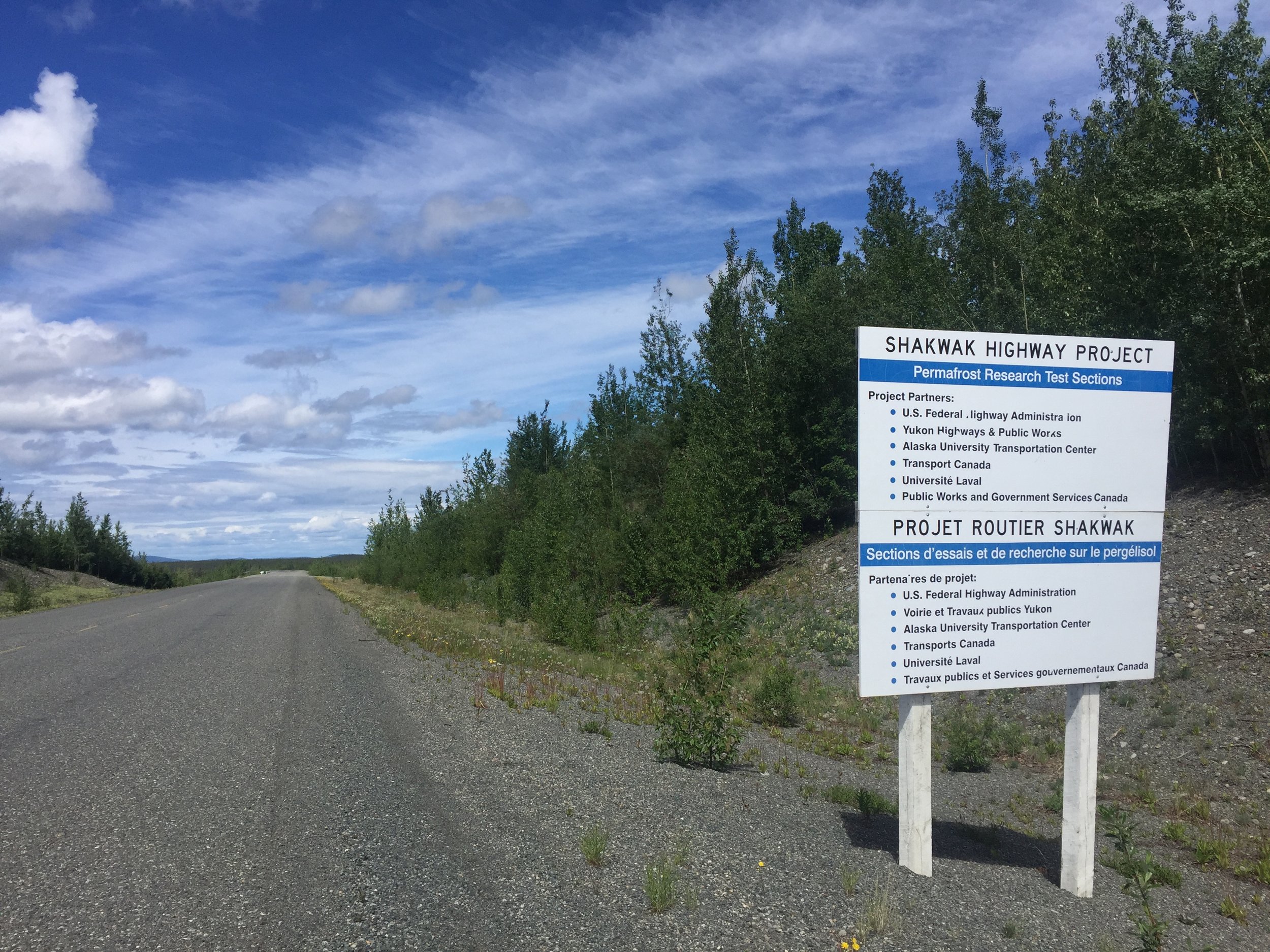
After taking today’s photo of an international highway research project over permafrost, I inquired at the Beaver Creek Infomation Center. This town, with a population of 112, has one of the best information centers I have seen. For the last twenty five years, the manager has run the place and has a wall dedicated to permafrost.

After three years of highway permafrost research on a mile stretch outside of Beaver Creek, all solution attempts were considered failures. Why?

Although permafrost is defined as ground frozen for two or more years, permafrost underlying this part of the Yukon is buried layers of ice from the last glacial period—likely thousands of years old. When trees, vegetation, dirt and rock are cleared to put in a highway, the buried layers of ancient glacial ice melt randomly as the ground warms over time from lack of permanent insulation.

For those with fancy cars, motorcycles, million dollar RVs, and pulling monstourous campers over this part of the Alaska Highway, I hope they take some of the time they saved speeding in good spots to stop into the Beaver Creek Information Center and learn about highways over permafrost. Or, next time they should bicycle across the Yukon and enjoy it.


View Event →
Haines Junction to Destruction Bay, YT (97 miles)
Jun
26
5:40 AM05:40

Haines Junction to Destruction Bay, YT (97 miles)

I check weather before I depart each morning. Today it was 35F. That’s the coldest morning so far. What should I expect? The clue: We stayed at the foot of Canada’s tallest mountain (Mount Logan) in the Glacier View Motel.

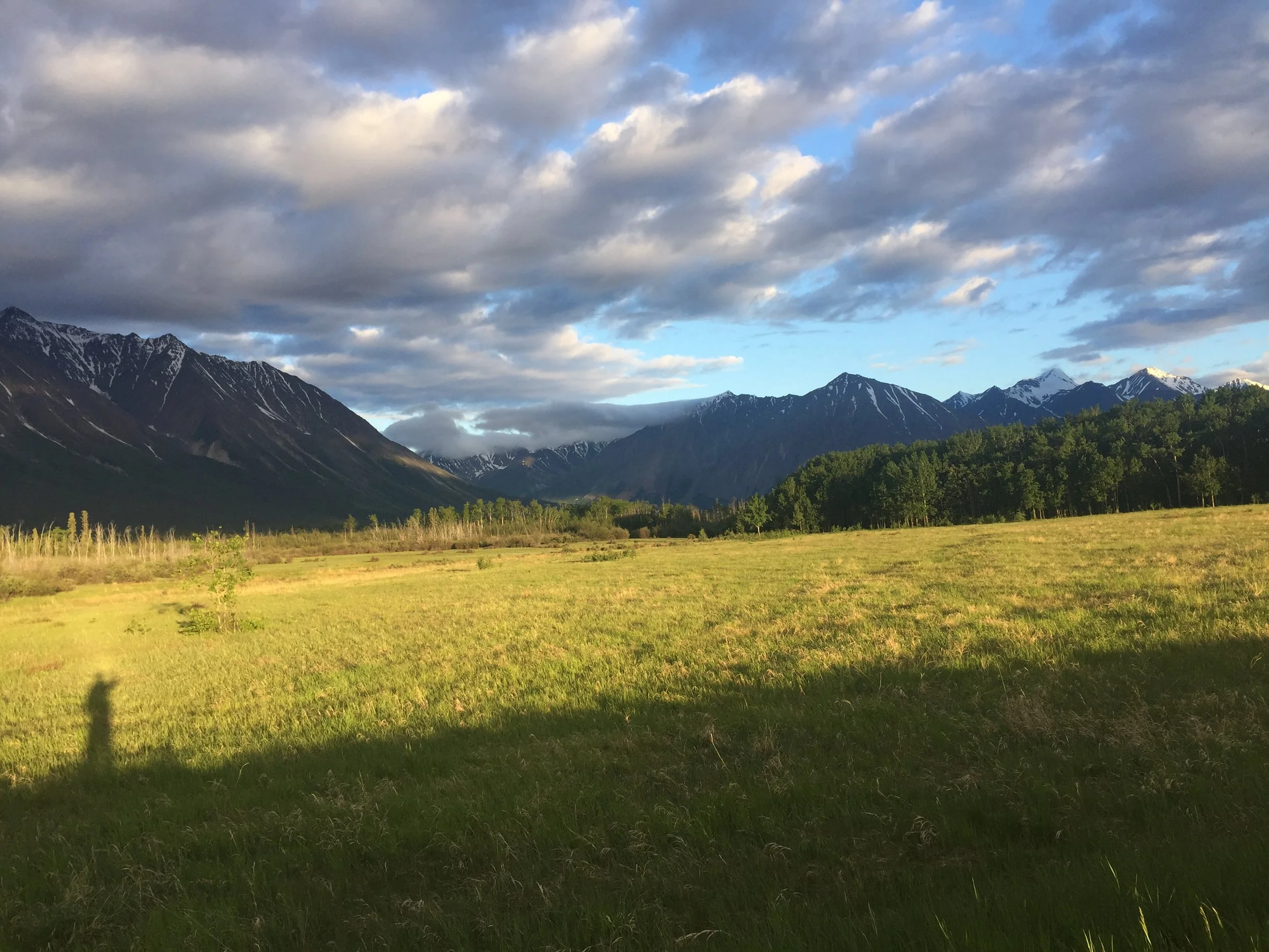
Notice in today’s photo my early morning shadow (lower left) stretched towards the mountains.

I dressed in my usual gear, including my yellow jacket which I planned to wear rarely. Patricia bought me winter gloves in Alberta, and I have wore them five days. I wore them all morning.

Until I read signs for helicopter and plane rides “Over the world’s largest ice field outside the polar regions”, I had no idea this part of the Yukon was so mountainous.

Not only is Mount Logan Canada’s highest at 19,541 feet, but it is second in North America to Alaska’s Denali.  Mount Saint Elias at 18,009 feet (in this same range) strattles the Yukon/Alaska border and is the second highest in both countries.

Biking below majestic mountains and glaciers makes the eight Dall sheep, a black bear beside me popping out of the roadside brush, and waiting for a small grizzly to cross before me seems minor by comparison.

View Event →
Whitehorse to Haines Junction, YT (97 miles)
Jun
25
5:53 AM05:53

Whitehorse to Haines Junction, YT (97 miles)

Too many times Yukon history begins with the 1898 Yukon Gold Rush. In fact, human artifacts date back thousands of years.

Stopping at rest areas (about half even have pit toilets) proved a good break for my legs and mind since I do not listen to music or radio while biking. I can hear traffic coming and it is becoming a personal contest to identify the upcoming vehicle without looking in my mirror. Good ear training—kind of like I did in the military 45 years ago.

Anyway, Yukon rest area signage is being developed to relate more to natural habitat, wildlife migration, and human history of the Yukon.

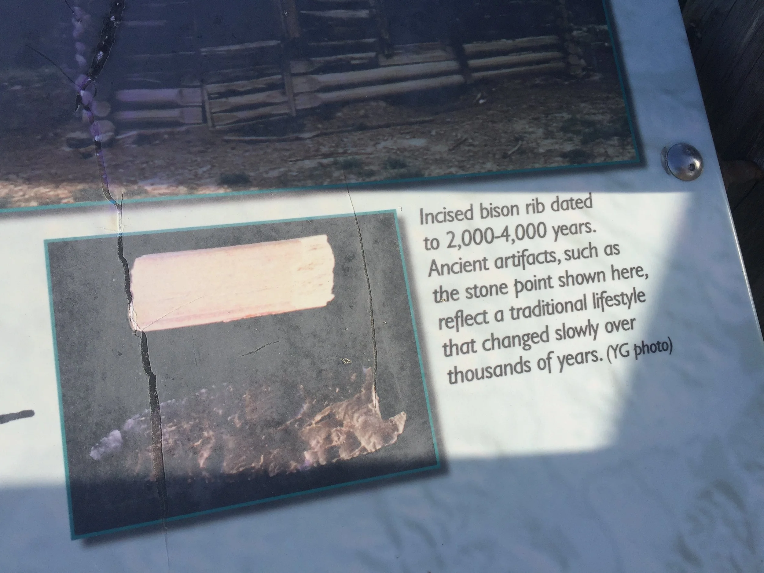
Today’s photo I zoomed in on a small part of First Nation cultural history. If a bison rib was found incised (etched) 2000-4000 years ago, there is much history to discover in the Yukon besides repercussions of gold fever.

View Event →
Marsh Lake to Whitehorse, YT (42 miles)
Jun
24
9:40 AM09:40

Marsh Lake to Whitehorse, YT (42 miles)

Today’s short ride was quite enjoyable for several reasons: First, I was able to sleep in and enjoy the breakfast at The Old Screen Door B&B on Marsh Lake; second, the proprietor sent me off with 4 fresh oatmeal/chocolate chip cookies; third, I had wind to my back which made the 42 miles seem short; and lastly, my wife and I got to spend several hours walking around and enjoying the quaint little city of Whitehorse (the only city in the Yukon Territory).

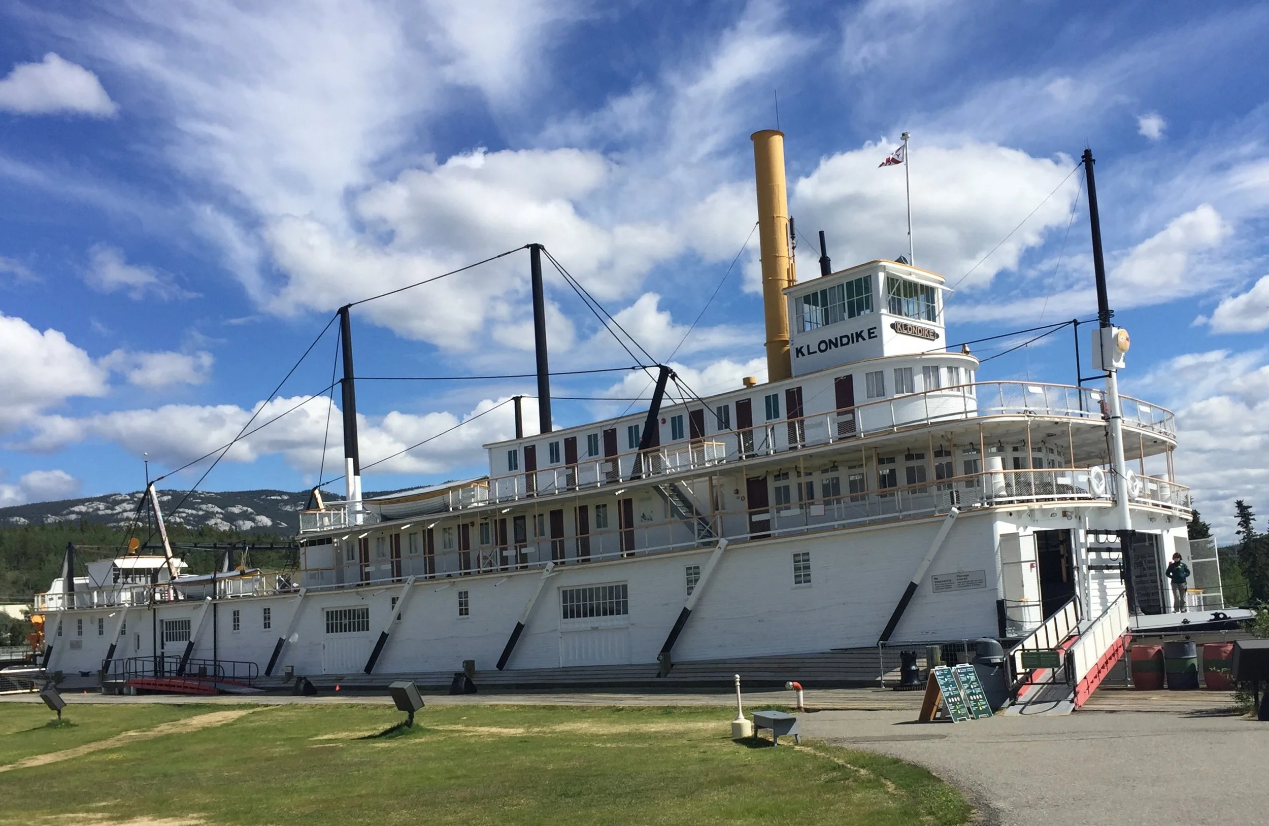
Today’s photo is of the Klondike, one of the last paddleboats hauling ore and supplies on the Yukon River. It operated into the 1950s with two 500 horsepower steam-driven piston motors powered by a huge boiler requiring a man to feed it a five foot log every 30 seconds. Each worked four hour shifts and was paid $25 monthly. It took a day and half to go down river (north) to Dawson City and six days to return to Whitehorse. Loggers built stations along the route to reload the 240 foot ore boat. It could operate in very shallow water with three and a half foot draft. Notice the top cable supports. They operated like a cable suspension bridge with the cables tightened or loosened to keep the boat bottom from sagging to minimize how deep it sat in the water.

Canada Parks conducts tours on the dry dock Klondike during the summer which we greatly enjoyed.

Just a brief background on the Yukon Gold rush of 1896-1899. The North American economy was in a depression when gold was discovered at the confluence of the Klondike and Yukon Rivers August 16, 1896. The Yukon Territory had very few people back then and no organized transportation system. Yet, that fall when news of the Klondike Gold Strike hit the daily papers in San Francisco and Seattle, it created up to 100,000 “Klondikers” to head into the unknown. As the rush built, the Canadian government stepped in to require each prospector to bring a year’s supply of food to prevent starvation. Gold made some rich, but hand mining was tough even in summer picking into permafrost. Latecomers, with government requirements of volume and weight, arrived by 1899 when gold was discovered in Nome, Alaska creating the Alaska Gold Rush. Dawson City boomed with an estimated 30,000 population in 1899 which soon crashed as heavier mining equipment moved in and Klondikers moved out. In 2016, Dawson City had an estimated population of 1,375.

Before I started my bike journey in May, I read the 1990 book by Harry Gordon-Cooper called “Yukoners True Tales of the Yukon.” One such story was of Fred Guder at 78 years old who annually carried his tent, small stove, clothes, blankets, and food the 300 miles from Whitehorse to Dawson each spring. For 14 straight days he walked about 20 miles a day on the Dawson Trail sleeping and eating at roadhouses along the way. Guder, who died in 1984, credited his long life and “abundant good health” to “...the simple rigorous life he had.” This is a great example of living in the Yukon where Guinness Book of World Records now rates Whitehorse the city with the world’s lowest air pollution.

View Event →
Teslin to Marsh Lake, YT (73 miles)
Jun
23
5:01 AM05:01

Teslin to Marsh Lake, YT (73 miles)

Wildlife can be a term applied to people living in remote places, like the Yukon. Today, I will relate a couple stories of how society changes with development.

Normally, I take a few short breaks during the day. Seldom are they over 15 minutes. On a cool, but sunny, day at a rest area surrounded by snowy mountains, a local older gentleman started visiting with me. Besides where are you going and coming from, he said he had visited the Dakotas when he was younger and living in Saskatchewan. He moved to the Yukon Territory in 1986. He said, “Once you get settled up here you can’t go back.”

He went on to tell me how things are changing. Although his population numbers on the Yukon capital may be underestimated, I want to relay his points.

He started explaining, “Things are changing up here. There are 35,000 people in the Yukon and 20,000 live in Whitehorse. It’s growing. People are bringing their ideas on how to change things.” He continued, “A while back, a landslide closed the road (Alaska Highway) between Teslin and Whitehorse. What do you think was the first thing the stores ran out of?”

I responded, “Likely toilet paper.”

”No,” he said, “Bottled water. Can you believe it? Bottled water!”

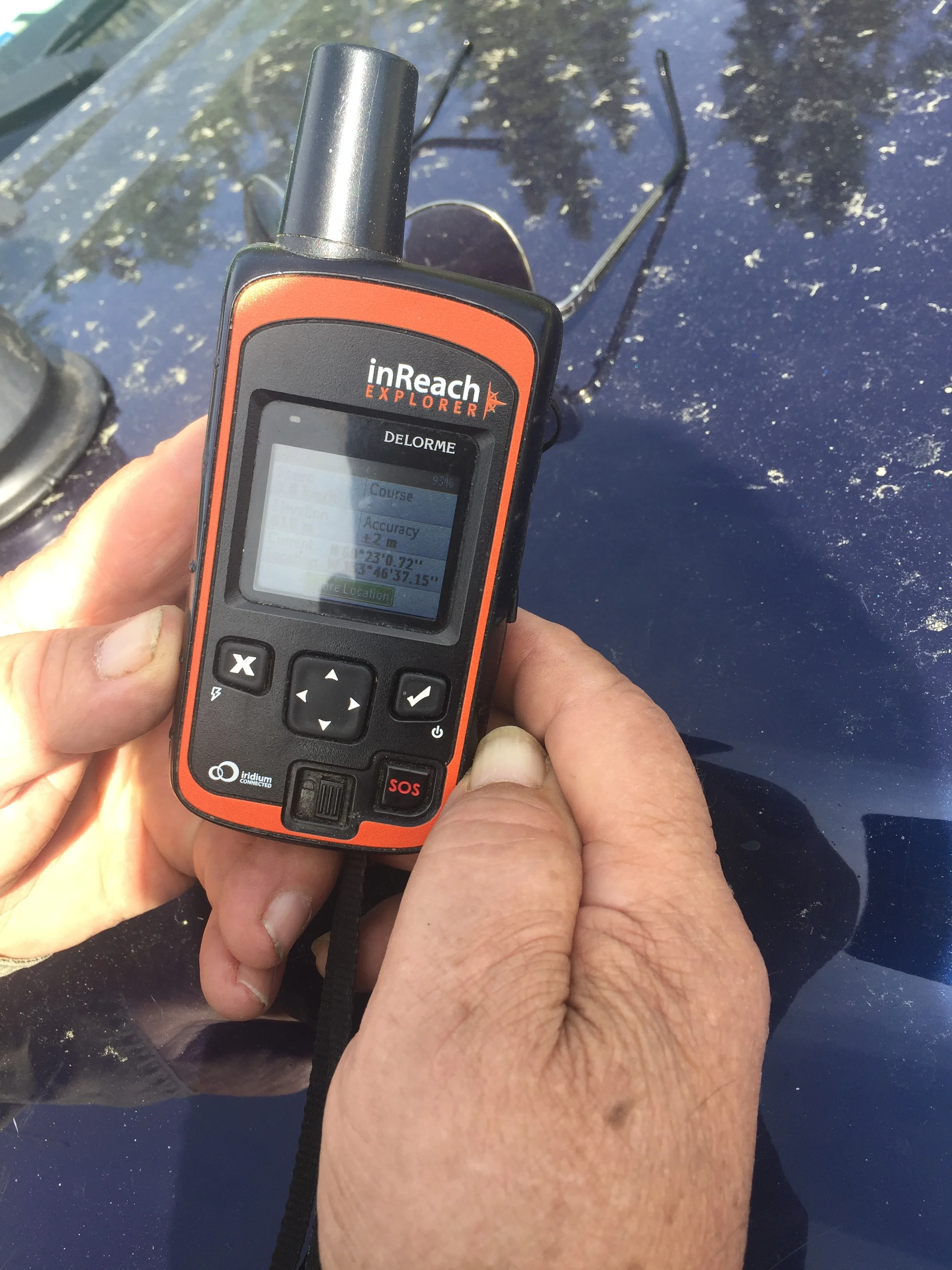
He went on to show me a phone-type gadget (today’s photo) he was using when I arrived. He was sending a text to a friend a couple hundred miles away. He said, “Satellite phones are expensive. You can burn up 200 minutes quickly, and it costs $300 a month. This thing costs $400 plus $70 a month and I can send a text to anybody in the world who has a cell phone with one of these (InReach Explorer, by Delorme). It works off satellite and in an emergency, you just hit this button and someone answers and sends help. My buddy had to do it and they sent a helicopter in after him. Cell phones don’t have much coverage up here, but anyone with one of these can track me wherever I go. You need this for your bicycle. That way your wife always knows where you are at.”

It was very obvious to me, this older guy found, and was using, technology very appropriate for his environment—the Yukon.

As we were finishing our visit, a fully loaded bicyclist pulled up to visit. He had made eleven trips across Canada and last year biked across Australia. He said he was heading to Whitehorse tonight (another 55 miles). I mentioned I was going there tomorrow. He said, “At least we will have good roads the rest of the way. All countries in the world have good roads into their capital. Roads are a political thing.”

It is amazing what one can learn at a Yukon rest stop in an hour about the world’s changing culture.

View Event →
Continental Divide Lodge to Nisutlin Outfitters Teslin, YK (78 miles)
Jun
22
5:40 AM05:40

Continental Divide Lodge to Nisutlin Outfitters Teslin, YK (78 miles)

Timing is everything, especially spotting and avoiding wildlife.

I had not biked ten minutes when I began crossing a bridge. A multi-colored fox (mainly dark with patches of red). Likely, it was a silver fox (part of the red fox species).  Later, I spotted three snowshoe hare in their summer brown coat, and a moose swimming across a lake.

Bikers try to avoid bears. Travelers in vehicles feel safe enough to stop and take photos. That brings me to today’s story of timing is everything.

My total ascent today was only 2,435 feet—meaning on this 78 mile ride there were not too many hills compared to the BC Rockies. As I was partway up a long incline, I spotted a large black bear crossing the highway to my side about a half mile in front of me.

(Sidenote: Yukon ditches are not maintained like the rest of Canada. Trees and shrubs, up to twenty foot tall, have regrown since the ditches were cleared and mowed several years earlier. They are much more dangerous since wildlife can suddenly appear on the road without warning.)

Back to the bear on the hill story: With all the trees and shrubs in the ditch, I lost sight of the bear. As I rode closer to where the bear had crossed, I moved to the oncoming highway shoulder. I spotted the bear walking along, head down feeding (likely on dandelion-a typical bear food this time of year). As I was anticipating sneaking by, a Class A RV slowly approached from behind me and pulled into position between the bear and me. Shielded from bear, I peddled up hill as the RV stopped to take photos of the bear.

As I neared the top of the hill, a motorcyclist pulled ahead of me and waited until I reached him. He had observed the RV/bicyclists interaction and wanted to know if anyone needed help. He had not seen the bear and I explained that they thankfully stopped for a photo shoot as I escaped. He said: “Be safe”, and moved on.

I had riden for perhaps ten minutes without a vehicle passing me. At rest stops I hear people complaining about the volume of motorcyclists and campers heading north on the only highway to Alaska. I am not complaining, as one acted as my protector and the other offered help. We share the road. In this remote area, I consider them my protectors.

View Event →
Nugget City Lodge to Continental Divide Lodge, YT (71 miles)
Jun
21
6:30 AM06:30

Nugget City Lodge to Continental Divide Lodge, YT (71 miles)

Today I crossed between of the two largest river drainage systems in North America—the Mackenzie (and its tributaries which flow northward 2,650 miles eventually flow into the Beaufort Sea/Arctic Ocean) and the Yukon River drainage (after 2,300 miles empties into the Bering Sea/Pacific Ocean).

After a 70 mile ride, I am on the Continental Divide in today’s photo.

The best way so far to describe my opinion of the Yukon is vast.

View Event →
Watson Lake to Nugget City, YT (15 miles)
Jun
20
11:45 AM11:45

Watson Lake to Nugget City, YT (15 miles)

My shortest day—15 miles. It gave us time to sleep in, eat a leisurely breakfast, wash the car, stock up on groceries, head to the next stop, enjoy lunch, and relax all afternoon. We are in the Yukon. Remember, this is not an organized Province yet. There are lonely stretches ahead.

For over 2000 miles I have only seen one other couple long-distance biking (in Alberta going the opposite direction). Today’s stop we caught up with three all with different plans and directions.

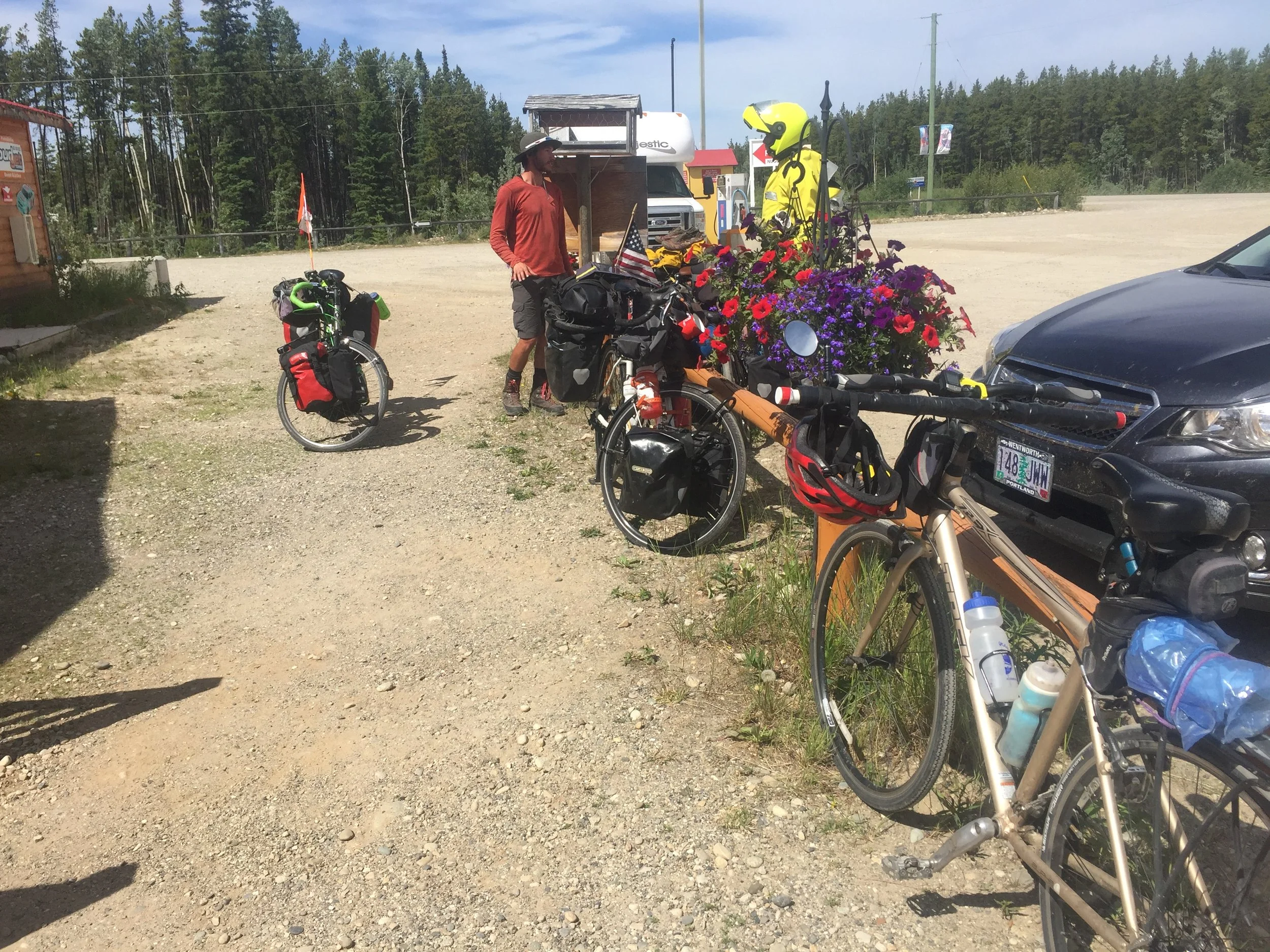
Check out their bikes. Specifically, check out their loads. My stripped bike is in the foreground. The three loaded bikes are hard to see under all their gear. One guy started in Utah in March, another is a guy about my age who has made three trips across Canada, and the third recently finished a bike tour in Japan and is heading from the Pacific Coast to Calgary, AB.

The photo puts into perspective how my wife, Patricia, and I can enjoy this trip without the “camping experience”.

Patricia wakes every morning to send me off. After her morning exercise, she repacks our vehicle, restocks supplies, and usually catches up with me by noon. After a break or two together, she moves on to get our next lodging. By the time I arrive, all I have to do is clean up, wash my jersey (unless washer is available), oil bike chain, and prepare for the next day.

Us four long-distance bikers have gone over 2000 miles this year. With my three 40+ pound bags (panniers) carried the last couple weeks in our vehicle, I am glad we chose this method of our Alaska adventure.

View Event →
Laird River Hot Springs Lodge, BC to Watson Lake, YT (130 miles)
Jun
19
4:15 AM04:15

Laird River Hot Springs Lodge, BC to Watson Lake, YT (130 miles)

At 130 miles, I will admit this (day 31) was my third toughest day. (Day 7: Minot to Bowbells, ND 71 miles fighting wind, I averaged only 6 mph; 2. Weyburn to Davidson, SK, 166 miles I averaged my fastest time at 12.9 mph (remember I was also still carrying 40+ pounds in panniers). Heat, wind (whatever direction) is wearing.

Some have asked about my progress. This is day 31 (including 2 break days). Today started at 1999 miles and ending at 2129 which puts me over two-thirds of the way.

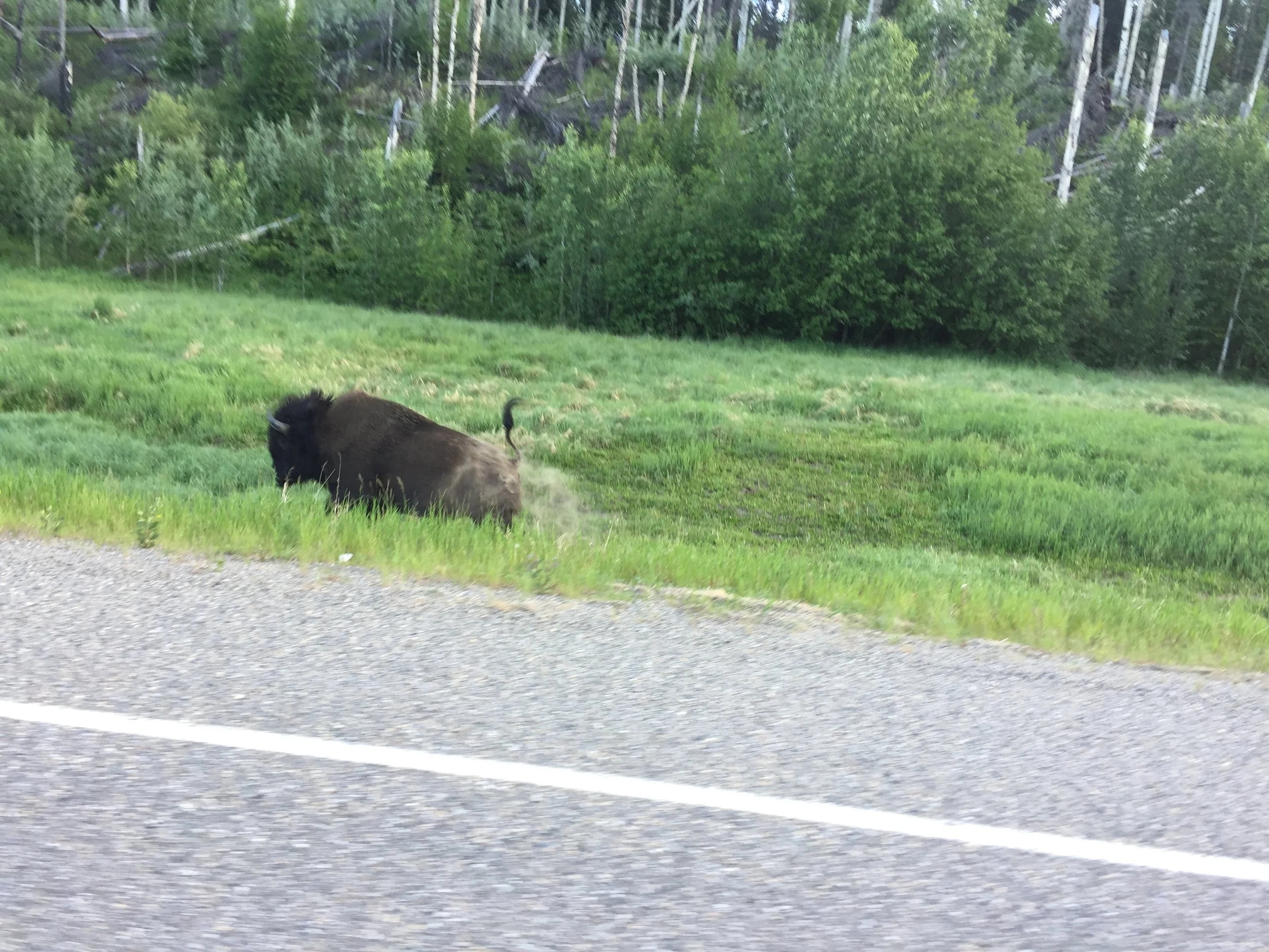
Never have I seen so much wildlife in the a 50 mile stretch. Wood buffalo were the most numerous. Individuals and herds up to 50 or so were feeding. They seem to ignore vehicles, but are not sure about my bike. Their choice seems to defend their grazing area, or run. Once I realized that my front brake screech causes them to run, I used it as an approach tool. However, a small herd (dozen) decided that they needed to cross the highway in front of me. Moving at about 15 mph does not allow much escape time.

A herd running moves at about 15 mph. (They can certainly run faster.) The 50 or so I mentioned earlier gradually grouped over a mile and a few young bulls,  a couple times stopped, turned towards me. Front brake taps persuaded them to keep with the herd. Four camping rigs were on the left side of highway. As the herd slowed I sped passed as they found refuge through a thinned area of the ditch-lined woods.

Today’s photo is of a bull that decided to run as I was going to sneak past as he had been calmly grazing.

Another thing, as I approached the Yukon Territory and passed the border, the buffalo were larger. They seem to resemble our Plains bison in size. Years ago there was an attempt to increase the genetic base from the limited numbers that had survived hunting a century ago. Perhaps, these herds are segregating again.

View Event →
Toad River Lodge to Liard River Lodge, BC (73 miles)
Jun
18
5:05 AM05:05

Toad River Lodge to Liard River Lodge, BC (73 miles)

This stretch of Alaska Highway, a AAA designated “Scenic Highway”, really deserves its designation. Passing through the Northern Rockies, across three river drainage areas, and mountain passes with limited traffic is a great experience.

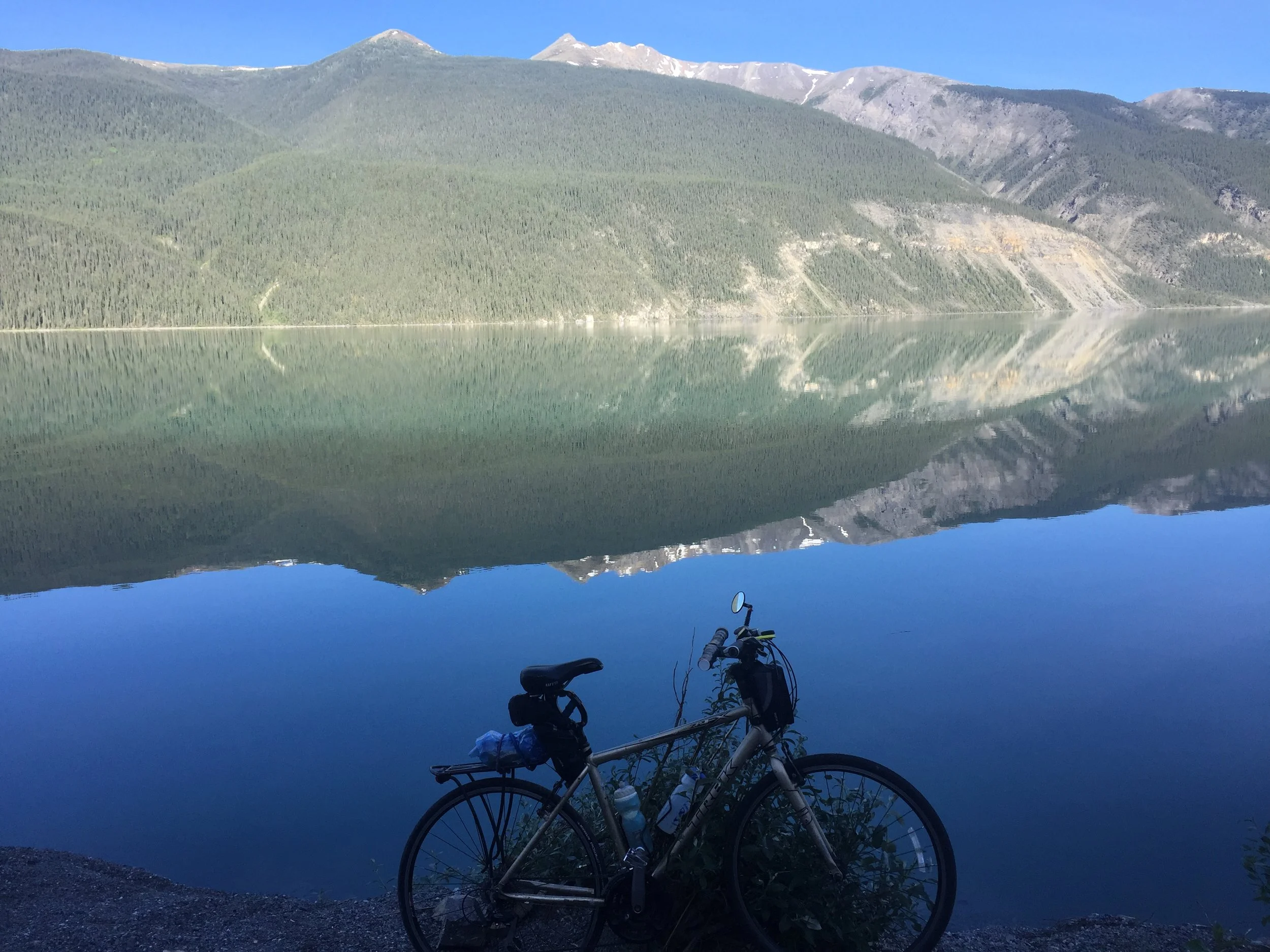
One key is to travel it in early morning. Only two vehicles passed me the first hour. When I arrived at Muncho Lake (30 miles after departing) the lake was still—completely calm. (See today’s photo.) The couple with family that took a photo of me by float planes arrived the previous afternoon and could not believe the difference.

Now you know one of several reasons it ride early morning, no wind; 2. No traffic; 3. More wildlife; 4. Arrive early; and 5. Making a much more pleasurable ride.

Why ride if you do not enjoy it?

View Event →
Tetsa River Lodge to Toad River Lodge, BC (48 miles)
Jun
17
6:50 AM06:50

Tetsa River Lodge to Toad River Lodge, BC (48 miles)

The whole ride today was on a stretch of the Alaska Highway designated as a Scenic Highway by AAA. Barren mountains with snowpack were either before me and occasionally on both sides throughout the day.

Two passes I had to bike over today allowed me into four river basins (one glaciated with its creamy water). A major clue I was near the top was Summit Lake. Where else would it be? The second clue was four rivers draining different directions.

A couple days ago, I was advised by my niece who lives in the Denver area, that the tree line is 10,000 feet elevation. That is likely the case in the Colorado Rockies, but not the north end of the Canadian Rockies. All the barren mountains appeared glaciated in the recent past.

What a beautiful and peaceful ride. (See today’s photo.)

Just a short update on my new tire and tube: working well. In case you are wondering, I have three spare tires and four tubes, plus a repair patch kit for the last 1100 miles.

View Event →
Fort Nelson to Tetsa River Lodge, BC (68 miles)
Jun
16
4:45 AM04:45

Fort Nelson to Tetsa River Lodge, BC (68 miles)

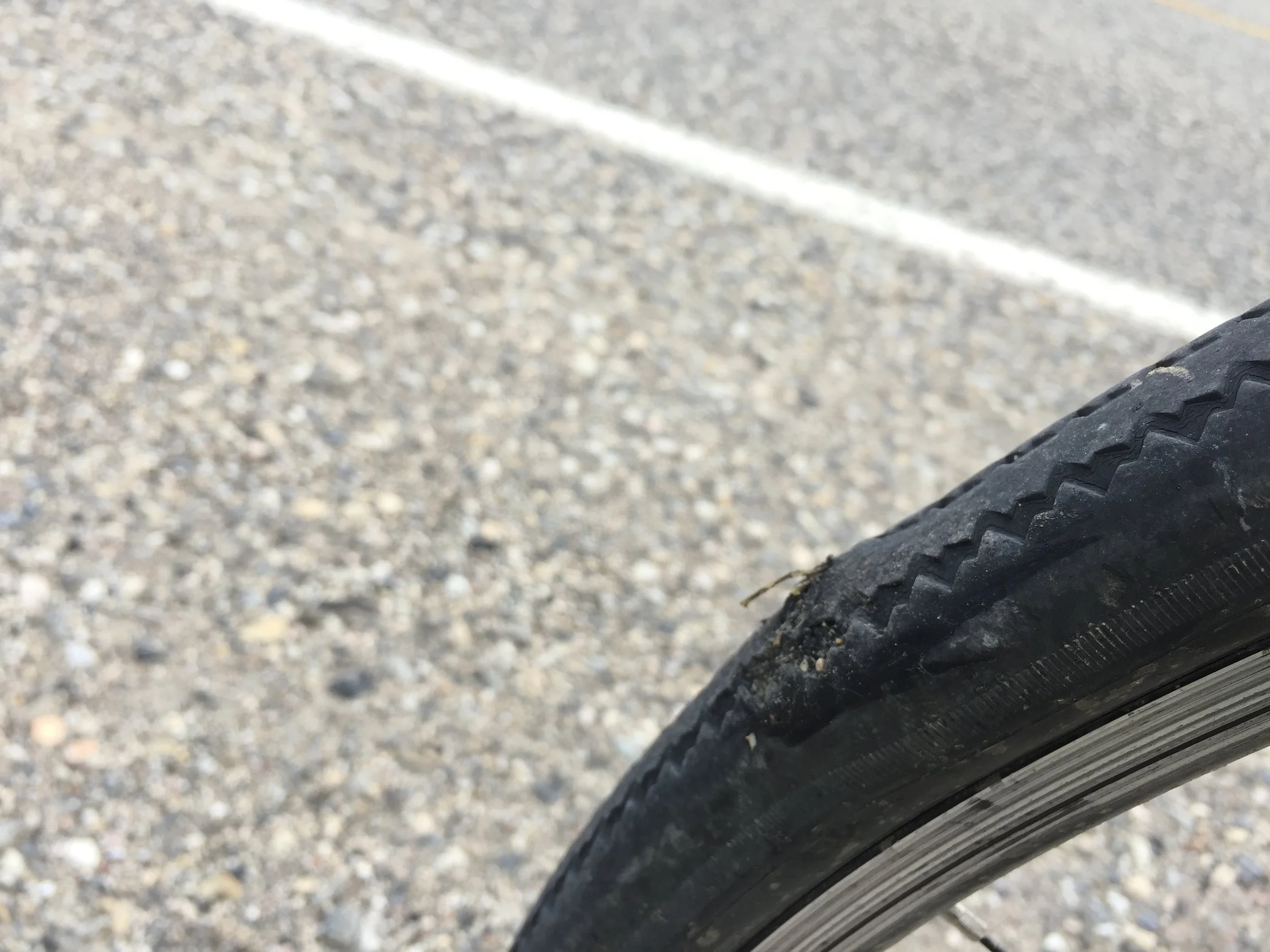
Today was wildlife day throughout. The second highlight was a five mile stretch going up over a mountain pass into the Northern Rocky Mountains. My ride was completed by a blown rear tire (today’s photo).

Nothing can compare to a crane drafting behind/beside me (yesterday’s experience), but today I confirmed the crane’s existence with photos of three feeding near the highway. A herd of five elk passed across the highway a quarter mile in front of me and a small black bear was feeding in the ditch. That was the first ten miles. A bull moose (still in felt) was feeding along the road as were a large black bear and deer. Numerous bear skat on my highway shoulder provided evidence I missed many.

Patricia kept checking and offering food and encouragement as I climbed (in my lowest gear) the 5-6 mile incline of the 3,500 ft. Steamboat Mountain summit (Alaska Highway pass) overlooking the Muskwa-Kechika (Rivers) Management Area (an environmentally managed multi-use area for resource and  recreational development while maintaining natural beauty).

So far on this trip, I have not had to stop, or walk, my bike up a climb. Today was by far the longest and toughest. My leg stamina was certainly tested, but the half hour break at the top overlook was well worth it. While there, we first visited with an RVing couple from South Dakota, and completed our break by visiting with two couples from Switzerland. One made their wedding trip 40 years ago over Alaskan Highway gravel roads. They were happy to share their repeat visit with friends this time in a comfortable RV.

My 71 mile ride today was cut short by three miles after I blew my rear tire (photo). This trip has gone so well, who would be the first vehicle that came by after I started walking my bike?

If you guessed a professional who makes a living helping and protecting people, you would be correct. A Coastguardsman who is also a bicyclist! He and his family were being transferred from Washington to Juneau, Alaska. Since I had only three miles to go to the cabin Patricia had found, we loaded my bike in the back of their pickup topper which had four bikes on top and a carbon road bike packed in shipping blankets in the box. Their moving trailer had no room, nor was there any room in the backseat with their three children (one in a car seat). To make room for me in the front, their border collie crowed into the back. Before leaving for Alaska, the Coastguardsman was advised to offer support to stranded vehicles. He said, “After hundreds of miles, what are the chances the first person we could help was a fellow bicyclist?”

As a seven+ year Air Force veteran, I am so proud to know our servicemen and women are still helping others wherever they are needed.


View Event →
Profit River to Fort Nelson, BC (57 miles)
Jun
15
7:15 AM07:15

Profit River to Fort Nelson, BC (57 miles)

The sun popped out after an early morning drizzle (<6:30)—the first day of sun for over a week. With a new bike chain and sun, I seemed to bike faster.

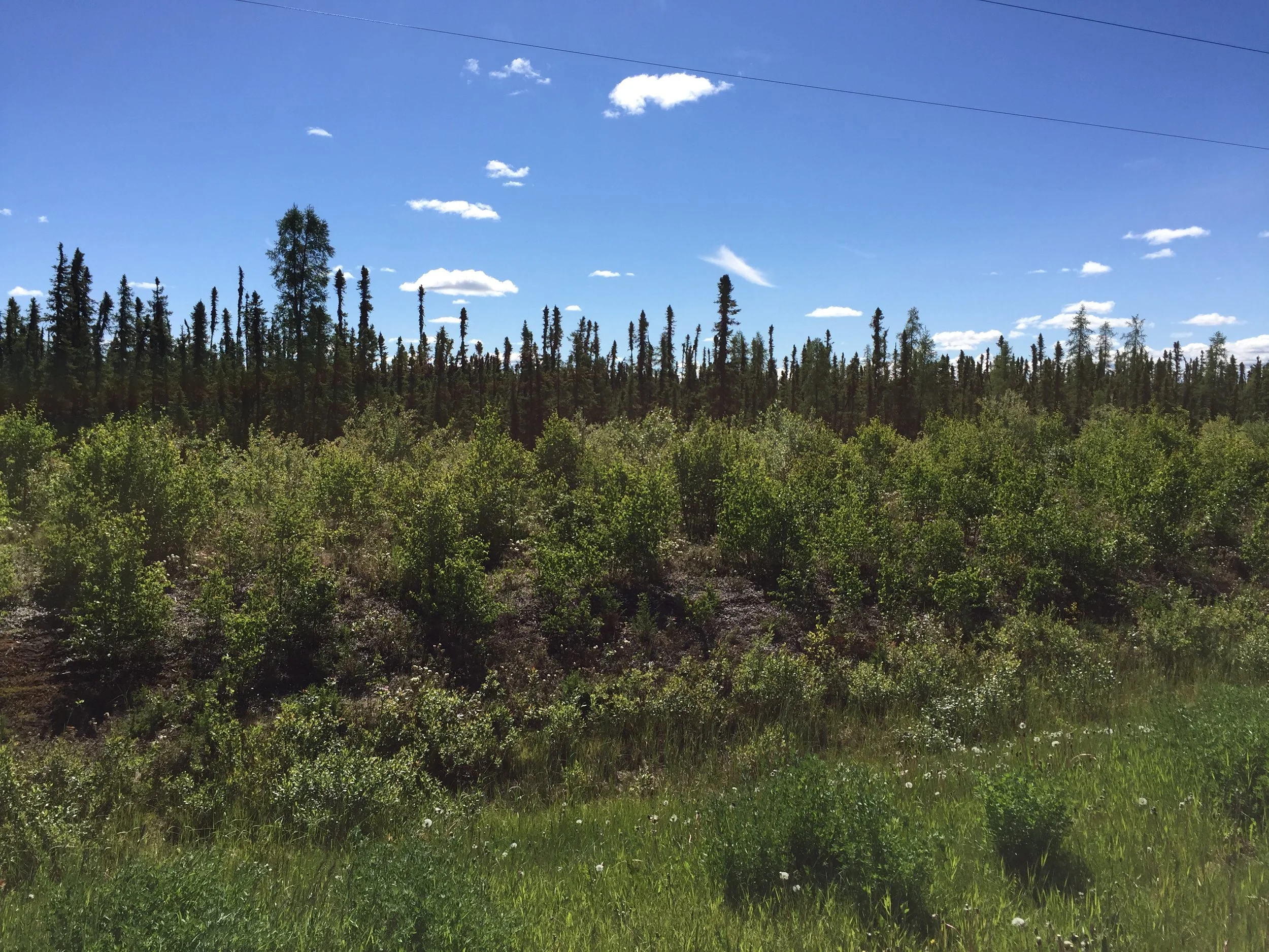
Today’s most amazing thing was going to be the black bear that rambled across the highway a couple blocks in front of me. I slowed allowing it to enter the bush on my side of the highway. As I passed, I could not see it, nor did I pause to take a closer look.

Now for the once-in-a-lifetime event: About a half hour after I seen the black bear, I was peddling smoothly about 12-13 mph with a slight northwest wind as I was headed north about 25 miles south of Fort Nelson.  I am not sure if I heard, seen, or felt something to my right (ditch-side). As I turned my head to the right at 90 degree angle, I looked blue eyeballs-to-orange eyeball (black pupal) at a sandhill crane. (At least that is what I would call it.) It’s long head was about 2-3 arm lengths away. It’s long neck and wings were behind me. After it seen me turn my head, it landed in the ditch and walked into the highway ditch bush. See today’s photo.

I cannot spot the crane in the photo, but at least you get an idea of the 4-5 foot tall bush along the road where the bear and crane found refuge.

My reasoning is that the crane was drafting behind and to my right. (Remember, I was cutting the northwest wind for it.) I have no idea how long it was there, as my large round mirror is on my left so I can see traffic approaching in the driving lane.

On our farm in northern South Dakota, each fall and spring I used to hear sandhill cranes pass. Constantly squawking, they fly in group formation about a mile high.

I have never been so close to a wild flying bird before. After it landed and went into the bush, I stopped. It squawked; waited a half minute or so and squawked again. Occasionally it would pop its head out between the bushes. I ate my peanut butter and jelly sandwich waiting to get a good photo. It may have been bored with me, as it quit squawking and maybe moved into the woods or sat nesting. After seeing the bear earlier, I did not have the guts to walk in after the crane.

I will end saying that this crane was big. Standing in the bush with head up, it seemed like five foot tall with red crown on its head and brown body. It was truly a once-in-a-lifetime experience.

View Event →
Buckinghorse River to Profit River, BC (54 miles)
Jun
14
7:25 AM07:25

Buckinghorse River to Profit River, BC (54 miles)

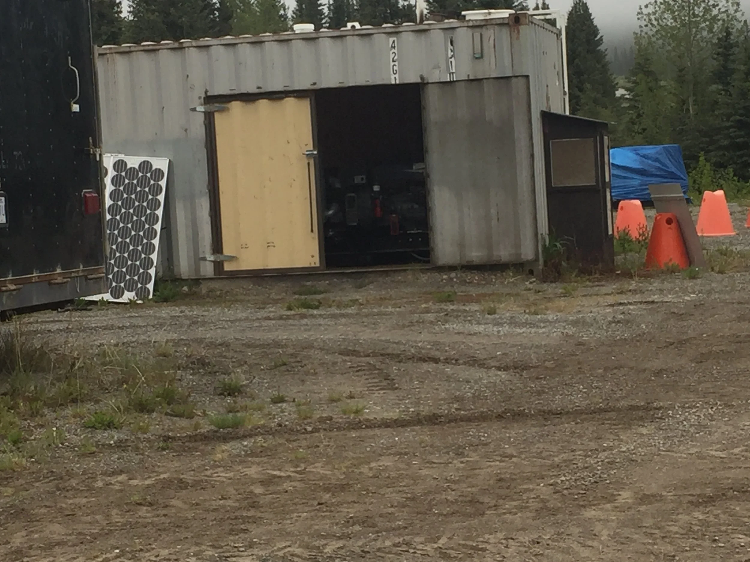
What is one clue you are in a rural outpost? When the lodging (cabins), cafe, and fuel pump’s only source of electricity is a shedded generator. (See today’s photo of Buckinghorse River’s power plant.)

Another clue is the highway sign just befote entering Buckinghorse River: “Check your fuel 174 km to next station”. 

According to the Milepost directory, there was no lodging reported between Buckinghorse River and Fort Nelson. Without knowing the terrain or weather before I started, I figured I would have a tough ride, or luck out and find a place to stay. Thanks to the Internet, I found a bed and breakfast halfway to Fort Nelson and entered the phone number in my “Pierre to the Pole” trip guide. Anticipating today’s ride, I called the phone number last night and was pleasantly surprised that not only was the bed and breakfast open (for the past year), but the owners asked if we wanted them to make us supper.

What an offer to a hungry biker! The owners have been living in Vancouver for seven years, before buying and remodeling the spacious place. Originally, she was from China and he was from Tibet.

The hardest part about making a homemade Chinese meal in this area is getting customary spices. Otherwise, they pick up supplies once per week in Fort Nelson—a 112 mile roundtrip.

By the way, wildlife highlight for today was a marmot watching from his rock pile perch, next to the highway as I stopped and took photos.

View Event →
Wonowon to Buckinghorse River, BC (74 miles)
Jun
13
5:25 AM05:25

Wonowon to Buckinghorse River, BC (74 miles)

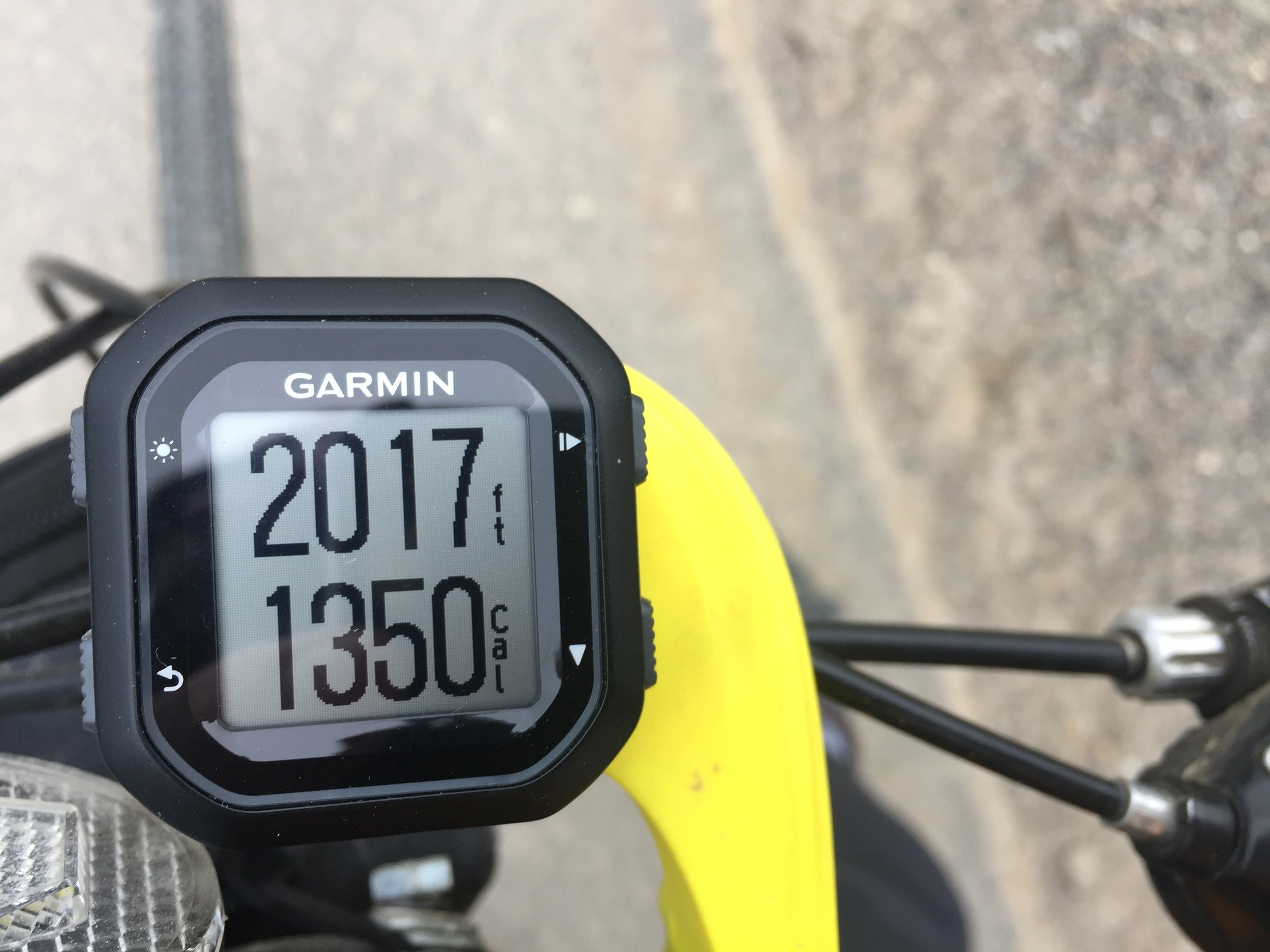
Amazing day. No wind but overcast and cold. 39F When I started and it likely never got out of the 40sF. Hills! And more hills! 74 Miles of them. Snow in the mountains to the south most of the day. This is the first time when my ascent (4226 ft.) exceeded calories (3371). At thirty miles into the trip, I figured feet elevation could not continue to exceed calories. (See today’s photo.) I was proved wrong. 

One downhill outside of Pink Mountain (gas & lodging services only) had a warning sign in “Milepost”.  “Suicide Hill, one of the most treacherous hills on the original Alaska Highway noted for its ominous greeting: ‘Prepare to meet thy Maker’”. I had to use both front and back brakes off-and-on all the way down. One stretch had narrowed the shoulder for a half mile with concrete abutments on my right and rumble strips. (Note: bike and rumble strips are not compatible.) This downhill was worse than any uphill!

 (The Milepost guide, of services and points of interest has been published annually since the 1940s, covers Alaska highways and roads into the state.)

The most amazing part of this ride was a cow moose with very young calf at side came out of the woods about a 100 yards ahead of me. The tiny calf could not have been more than a week old. Anyway, the pair came up on the highway shoulder (my shoulder) and was trotting toward me. I stopped to grab my phone/camera when I first seen them. My phone battery was dead. I could have been, too, as the cow moose came right towards me. At most she was 40 yards in front of me trotting, face-to-face. I did not move as I strattled my bike. The cow stopped with calf by her back legs. She looked at me, puzzled by a strange object. Realizing I was not threatening, she trotted across the highway, down the opposite ditch and disappeared into the woods. Luckily, there was no traffic on the highway. As a farm kid raised around cattle, I’ve been chased by a cow protecting her calf. Fortunately, the moose did not find me offensive.

Today’s moral: On the Alaska Highway there is more than one way to “Meet thy Maker.”

View Event →
Fort St. John to Wononwon, BC (55 miles)
Jun
12
8:03 AM08:03

Fort St. John to Wononwon, BC (55 miles)

Some things are natural; others are not. Phone and Internet services are not. Such communication is only a recent phenomenon. Many have come to expect it. My point is that I am biking into an area that is more natural than synthetic.

For the past day, I have been generally without phone service. Internet has been accessible at lodging sites. Internet has become a standard feature, like bed, towel, and pillows of the past.

My daily bogs may become less frequent. It does not mean I am incapacitated, but more likely closer to nature.

For example, I woke this morning, checked the weather and winds as I normally do and prepared to ride. Weather this morning showed expected winds less than 10 mph all day and zero percent chance of rain. I took the bike to the hotel lobby as I was going to pick up a light breakfast. It was raining—and did so until 8:00.

Rain is natural, weather prediction is artificial.

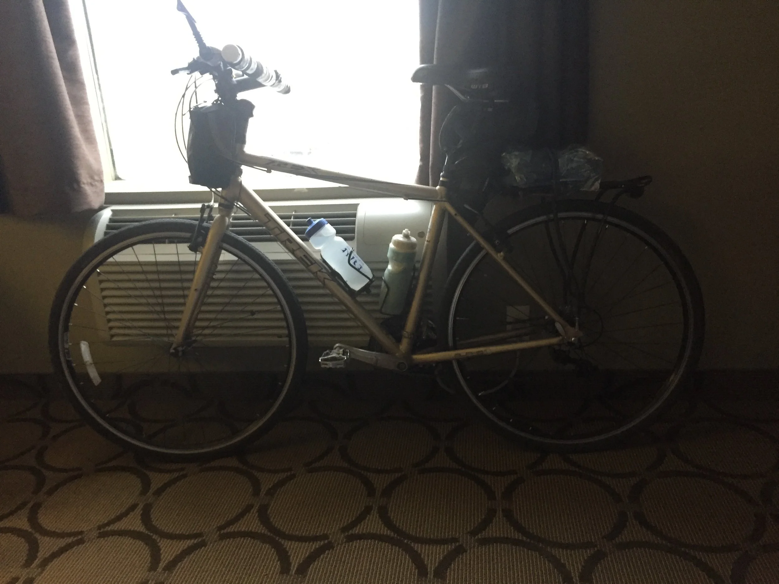
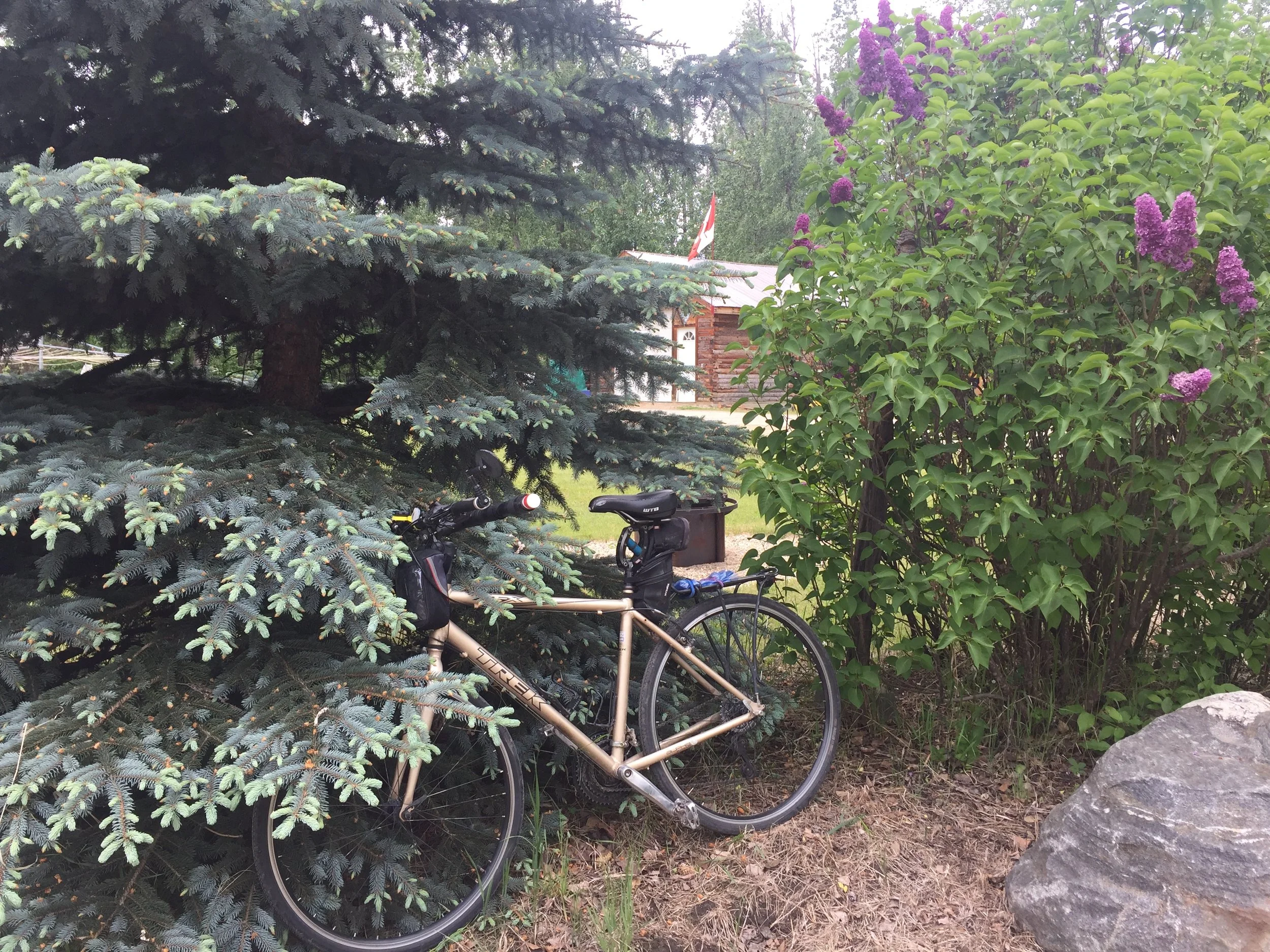
Fortunately, on this trip I am getting to become more accustomed to nature again. As my photo today indicates, I daily bring my bike into our room. Thievery and rain are natural. I want to protect my transportation from both.

I appreciate my followers, but I may be closer to nature than Internet the next couple weeks. Keep checking. Thanks!

View Event →
Dawson Creek to Fort St. John, BC (46 miles)
Jun
11
5:40 AM05:40

Dawson Creek to Fort St. John, BC (46 miles)

Seriously, I was not sure if I would bike today. High winds out of the west predicted, peaking by noon, and sustained with showers predicted late afternoon. It was cool again today, but my goal was under 50 miles.

What I did not expect was the first ten miles of the Alaskan Highway was under construction. Actually, grinders stripped off the top few inches leaving a rough surface so the repaving would bind. Shaking handlebars and slow progress made wind no obstruction. Considering I have biked over 1500 miles, ten miles of construction is minor, but likely more to follow.

Two rivers had to be crossed today—the Kiskatinaw and the larger, Peace River. Both rivers have steep downhill grades on the south and long (very long) climbs out.

Warning before the Peace downhill stated on one warning sign “Extreme Downhill Grade” followed by “6% next 5.3 km” and partially down the hill was a 10% downhill warning.

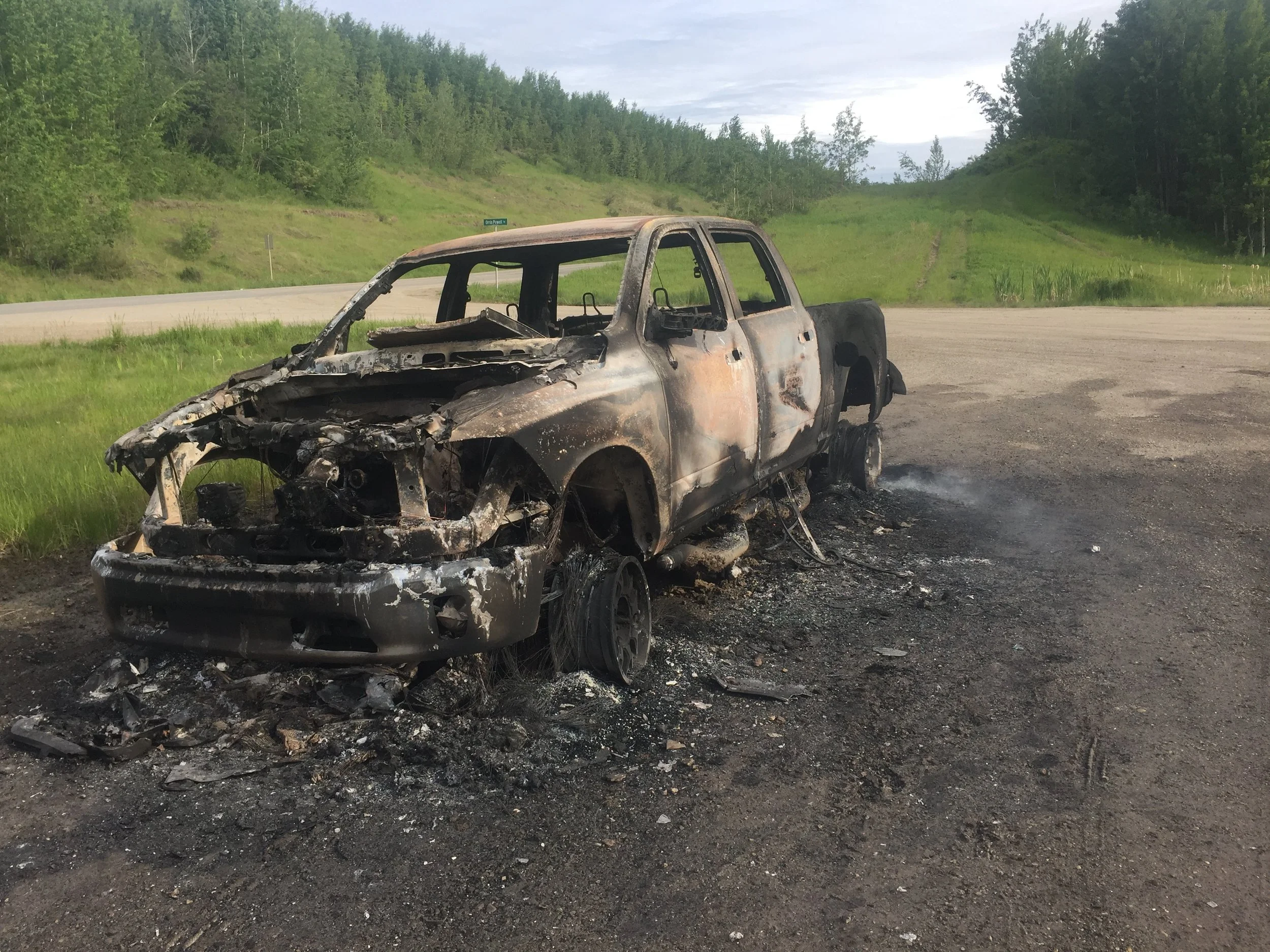
Did today’s photo come from the bottom of the Peace River hill? No! The pickup truck never made it to the second river.

Notice the rear driver-side tire is still smoking. Nobody was in the parking area, so I did check the vehicle for human remains. I found none. Everything that could burn apparently did. Interestingly, the fire likely started from overheated brakes, and the last thing smoking was what remained of one tire. Winds likely spread the flames quickly, and apparently the driver (and possibly passengers) escaped and were given a ride to safety.

One thing for sure, my bike has a better chance of reaching Alaska than that truck.

Another certainty on this trip—every day I have a new experience.

View Event →
Grande Prairie, AB to Dawson Creek, BC (89 miles)
Jun
10
5:59 AM05:59

Grande Prairie, AB to Dawson Creek, BC (89 miles)

This was an interesting day. I biked for an hour; had an hour breakfast with a couple of Canadian friends, biked out of Alberta into British Columbia and on into Dawson Creek which is Mile Marker One on the Alaska Highway.

As I was departing Grande Prairie, for the first twenty miles I had my first view of snow-capped mountains.

It was cool again this morning (43F) with winds constant from the WNW as I was biking 89 miles directly into it or a side-wind. Cloudy too—all day with temperatures not getting into the 60sF.

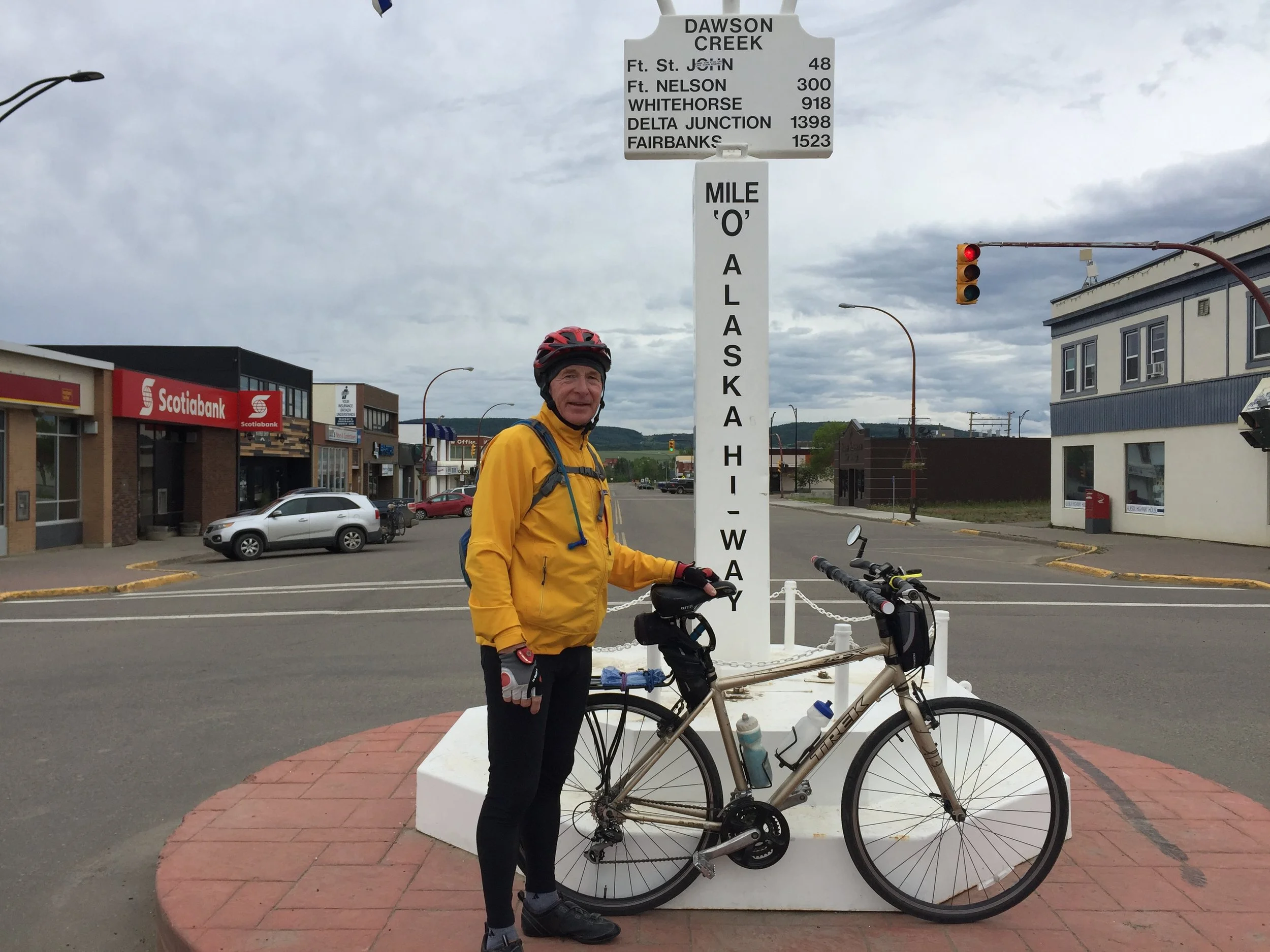
As today’s photo indicates, I made it to Mile Marker Zero of the Alaskan Highway.

I departed Pierre, SD three weeks ago today. Based on my estimates, I reached the halfway point today.

One of the most unexpected treats, was a hot caramel roll. This was no normal roll. A regularly scheduled community “garage” sale had vendors selling out of their car trunk (very similar to the “car boot sales” in England). Patricia found a family handmaking dough. Once rolled thin, butter and cinnamon were added and baked it in an outdoor wood-burning oven. Texture and unique production was minor compared to the taste. I jumped off my bike, sat in our warm car with Patricia, and gobbled the most tasty caramel roll I had in years. What a great treat for a long, cold, windy ride!!!

View Event →
Rural Grande Prairie, Alberta (2nd day no riding)
Jun
9
8:00 AM08:00

Rural Grande Prairie, Alberta (2nd day no riding)

A predicted rainy day, was a good excuse to extend our stay at friends, Jan and Joe. It is a perfect way to enjoy locals in their environment.

Thrir quarter section of wooded ground is located on bluffs overlooking the Wapiti River a few miles south of Grande Prairie. Yes, I biked there and will make the long climb out by bike, but it is so worth it.

While my wife, Patricia, enjoyed Jan’s indoor equine pole training with the local horse club,, Joe and I checked out their rustic cabin. As one would picture from the old days, it is not plumbed or wired. Heat comes from a pot-belly wood stove and the kitchen has the early 1900s white enamel wood cook stove. A table to eat and play cards a few chairs and beds allow children, grandchildren, and friends to experience a day, or several, living rustic as centuries past. Fortunately, I could go back to their house for an extended steam bath to loosen my legs muscles after three weeks of biking.

As I stepped outside the hidden cabin to view the Wapiti River below, I had to step around moose dropping. This place is an unexpected treat to relax and allow my legs to recuperate.

Woods in this area, and likely most of Alberta, are surrounded by wild prickly rose just coming into bloom. With brilliance of reds and pinks, no wonder the wild rose is the official emblem of Alberta.

The Wapiti River (named after the Cree word for elk, waapiti) originates in the mountains of British Columbia. While at their cabin, viewing through the poplar, pine, spruce, and tamarack, we could see the Wapiti was now carrying mountain runoff making it more difficult to navigate. Although we were unable to take their one-of-a-kind homemade boat into the River, it was so relaxing just viewing it several hundred feet below.

It is no wonder trappers and fur traders of centuries past spent summer and winter making a living in this area. Now oil and timber are the base industries, but a city of over 60,000, with airport and all services is a great place to enjoy summers and many retire here.

View Event →
Valleyview to Grande Prairie, AB (78 miles)
Jun
8
5:20 AM05:20

Valleyview to Grande Prairie, AB (78 miles)

Often messages supporting my ride end with “Be safe”. Yes, I try with lights on bike and helmet flashing and dressed in yellow and white with a red helmet. To comfort the many, I must admit highway shoulders are much wider and smoother in Canada than in the U.S. It is unusual to find a highway shoulder less than two foot wide, and major highways have ten foot wide smooth shoulders many of which have recently been swept clean. (I suppose to brush off the winter treatment of sand.)

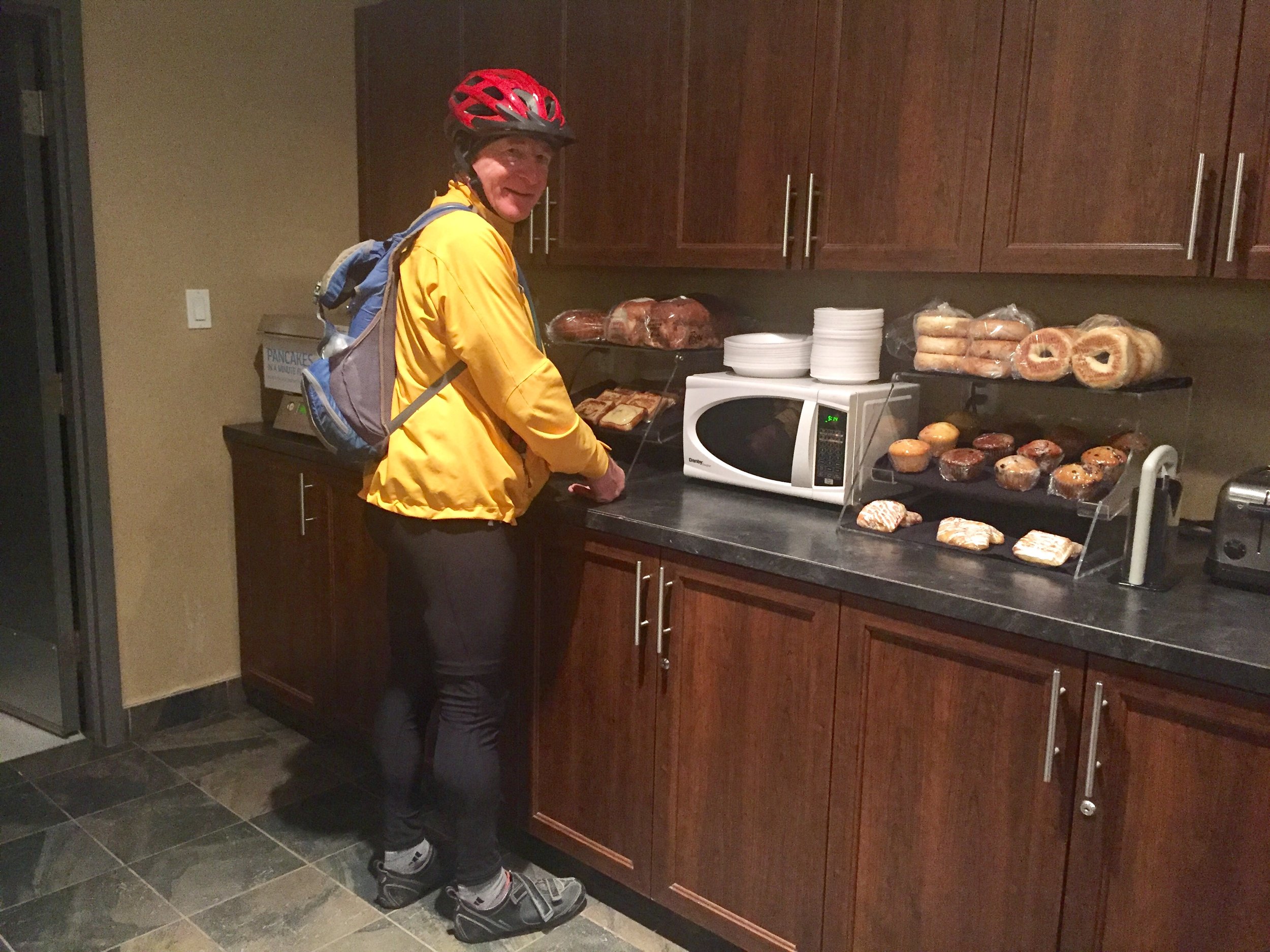
In today’s 5:00 a.m. photo I am making French toast as my wife prepares a peanut butter and jelly sandwich for my morning snack.

I made it to Grande Prairie in northwest Alberta today. Grande Prairie (pronounced “Grand”) is the last expected stop in Alberta.

As I biked into Grande Prairie County, I was surprised to learn this was the first organized county in Alberta. It was not designated  the first county until 1951.

Alberta did not become part of Canada’s Northwest Territories until 1882 and did not become a Province (along with Saskatchewan) until 1905.

Allberta in land area is huge, has rivers draining into the Hudson Bay and the Artic Ocean, but only borders one U.S. state—Montana.

I look forward to my trip through the far northeast corner of British Columbia in the days ahead and I thank all who have checked these posts as I progress north.

View Event →
Whitecourt to Valleyview, AB (107 miles)
Jun
7
4:40 AM04:40

Whitecourt to Valleyview, AB (107 miles)

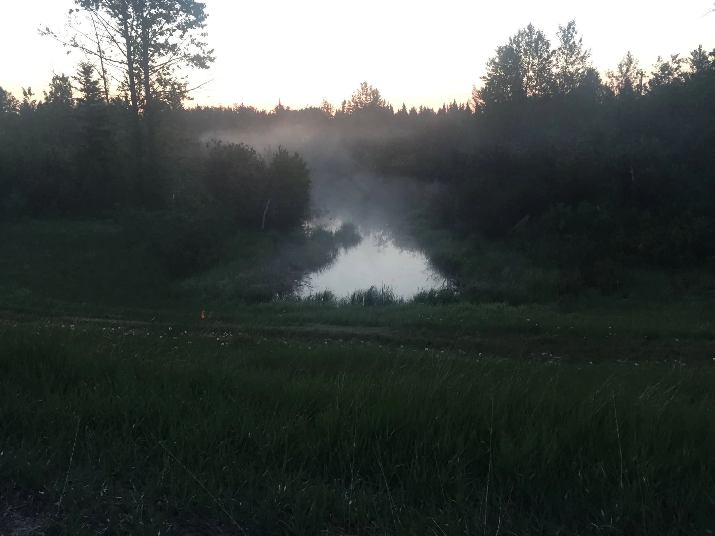
One thing for sure, I’m getting experience biking in cool weather. For a week now it has been in the low 40sF when I started. Check out today’s photo. This is what happens when the creek water temperature is warmer than the air. Steam (warm air) rises.

This photo was taken a few minutes before 5:00 this morning with sunrise at 5:12.

This blog I’ve tried to keep numbers understandable for Americans, but since ride-day 7 (May 26) I have been traveling in kilometers and biking in celsius temperatures.

It can be confusing, but it should not be. All my published research and patents are in metric and accurate, but there are easy estimates. These have been passed on by Dawn, my Canadian friend, who was going to school when Canada converted to the metric system. She simplified Celsius to Fahrenheit for me. Just take the Celsius times two, less 10%, and add 32. Example: this morning was 5C. Using the quick estimation method even I can do it in my head: 5 + 5 = 10, minus 10% is 1. 10 minus 1 = 9 plus 32 equals 41F.

Kilometers (km) are easier. Multiply km by .6. If a sign says 60 km to the next town, it would be 36 miles.

When biking, it is inconvenient to stop and calculate temperature or mileage. These are just some of the ways I keep my mind busy biking. Your next question: What does your mind do the other 6 to 8 hours? 

Stay tuned.


View Event →
Mayerthorpe to Whitecourt, AB (27 miles)
Jun
6
7:40 AM07:40

Mayerthorpe to Whitecourt, AB (27 miles)

This is the shortest planned day—27 miles.

Why? First, several days over 80 miles a day has worn me down a bit. Secondly, Whitecourt is a very active commercial center—a good place to stay. Thirdly, this is vacation. Why rush?

Several friends and family have wondered if we are blowing our budget on lodging. Best answer: No. Unbeknownst to me, this is very slow season in oil field country. Heavy drilling equipment gets bogged down once the ground thaws. Consequently, the busy season for lodging in Saskatchewan and Alberta is in the winter, and again in the summer for tourist season. Fortunately, many rooms have kitchenettes and full breakfasts, like this place. Now is a great time to be slowly passing through.

Today’s photo is our room here in Whitecourt. It is $US83.07 with all sales tax and gross sales taxes included. In the room is a full size refrigerator, gas fireplace. king bed, whole-wall bay windows, and the biggest in-room whirlpool tub I’ve ever seen.

It certainly helps having a 24% U.S. favorable exchange rate, but this place is far above our expectations and below what we budgeted.

If you plan to vacation in Alberta or Saskatchewan, consider late spring. It is not only beautiful, but economical.

View Event →
Drayton Valley to Mayerthorpe, AB (59 miles)
Jun
5
5:45 AM05:45

Drayton Valley to Mayerthorpe, AB (59 miles)

Today was back to my expected normal mileage at 59. (I had been projecting 60.) Three day’s in a row over 80 miles was enough (considering wind every day and rain late yesterday.)

This is logging and oil country and as I came north out of the hills and valleys it turned into cattle country and crops as landscape flattened.

It was a cool 41F when I departed and I may have seen frost in the valleys. I did not confirm as it was very cool biking and I kept going to stay warm.

Last evening’s rain softened the road ditches. Although the highway was marked for moose, I did not see any yet but plenty of tracks in one area.

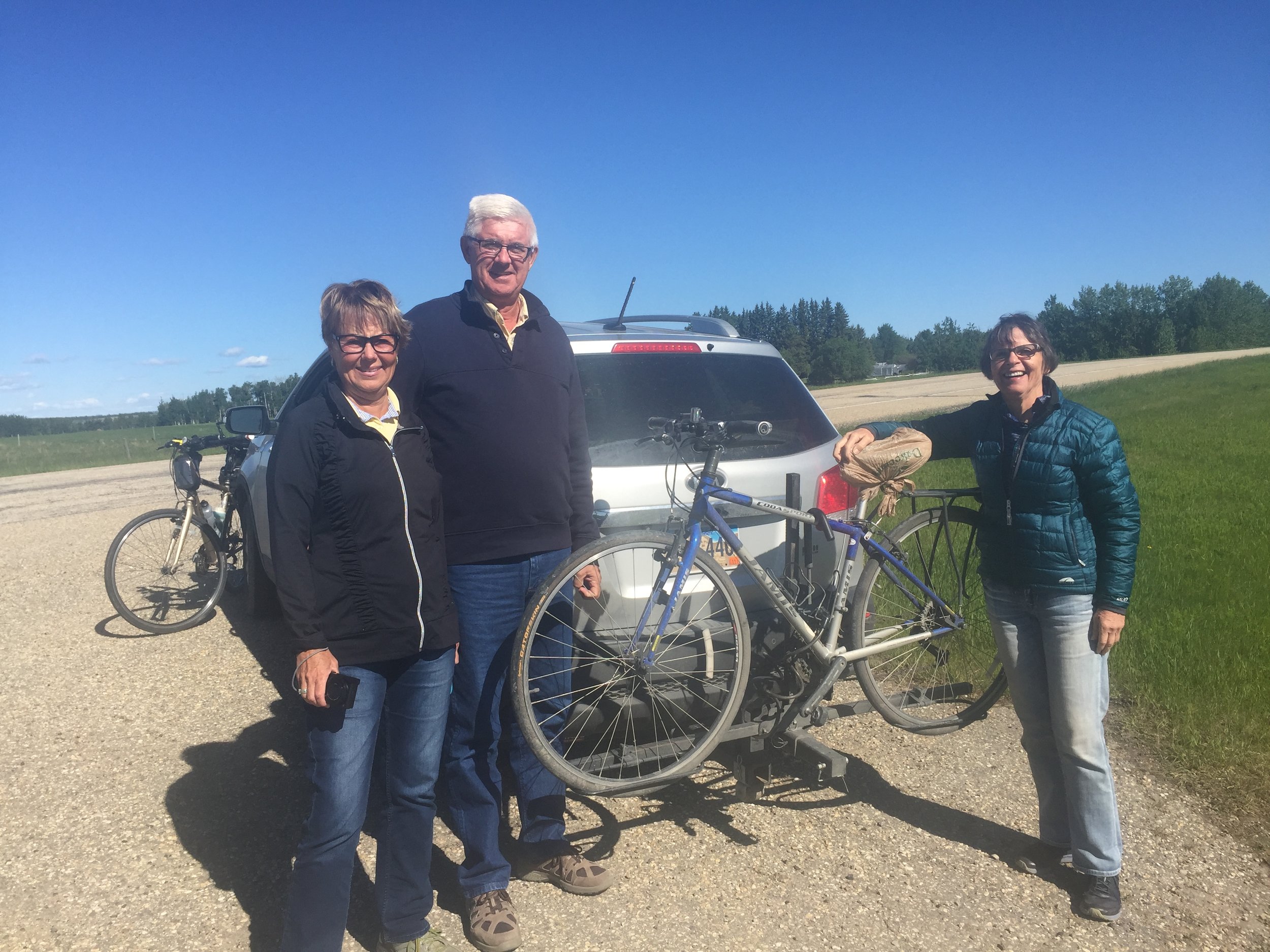
After breakfast, our friends, Deb and Rob, and my wife, Patricia, came 40 miles further north to check my progress before they turned south again for Calgary. (Check out today’s photo. My wife is on the right.)

i keep repeating it, but I really did have another wonderful bike ride and the countryside is beautiful.

View Event →
Wetaskiwin to Drayton Valley (80 miles)
Jun
4
5:03 AM05:03

Wetaskiwin to Drayton Valley (80 miles)

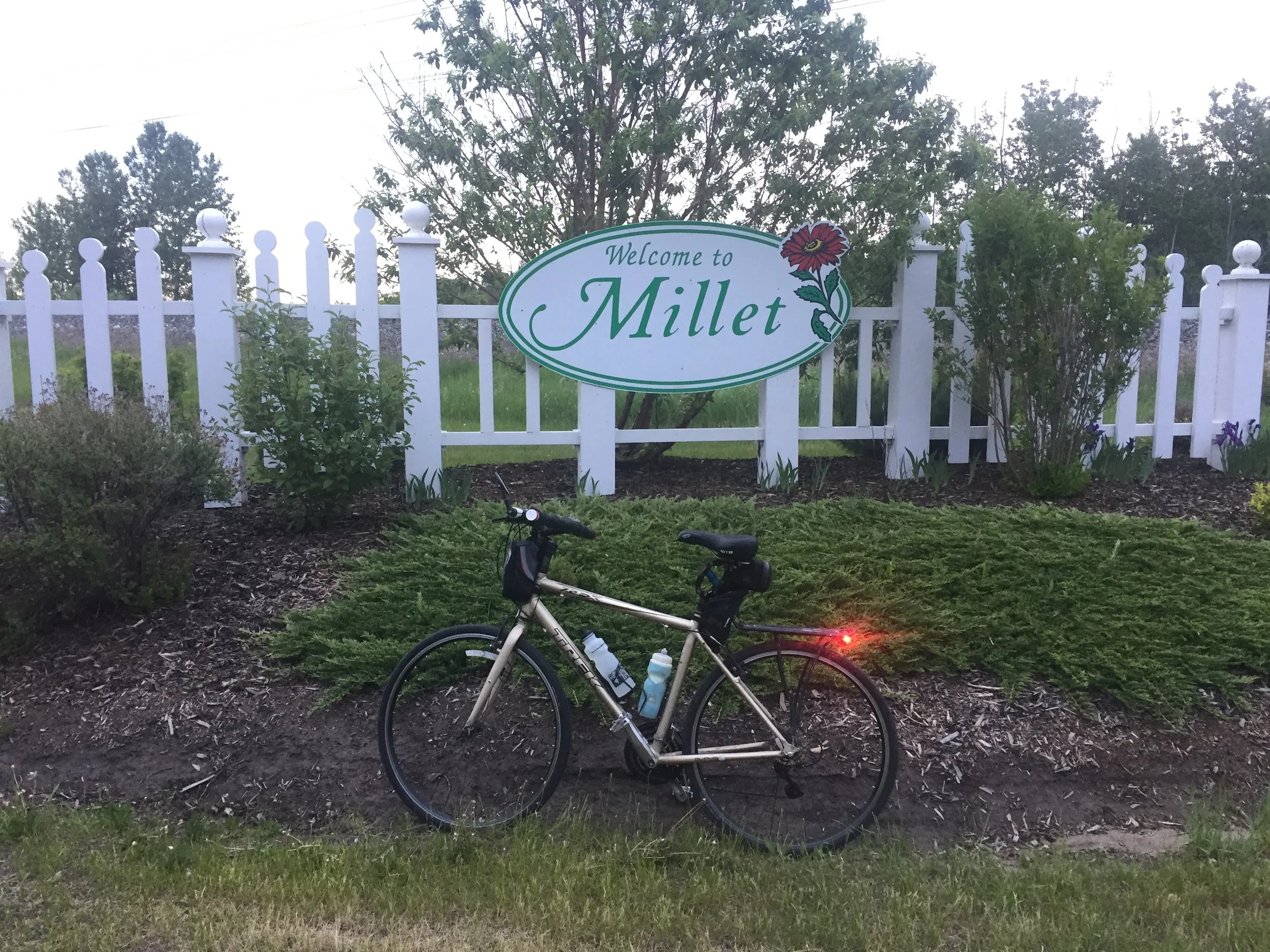
As mentioned yesterday, businesses and farms present an image for passerbys—good, bad, or who cares. People are the same. Likewise, towns and cities large and small either welcome or discourage outsiders. The small Alberta village of Millet is a good example. See today’s photo as I approached,

With a few hundred residents at most, Millet had three blocks of active retailers—obviously catering to the passerby.

As an agriculturalists, millet is my favorite grain. Although I wrote two books about the crop (published in 1989 & 1990), I had no idea there was a village in Alberta named after the crop.

With antique grain drills and other old farming equipment displayed with fresh potted flowers or surrounded with perennials in every park and public area, it was obvious farming had been the lifeblood of this village. Likely, the crop millet was the major crop in the area when the village on Millet incorporated. 

Millet grain is not native to North America and was only introduced (by outsiders) about 150 years ago by German Russian emigrating from the Ukraine.

For thousands of years a crop survived because enough producers and customers found it served their needs. Although small towns are dying daily as businesses close, never to reopen, the village of Millet survives because it’s image produces what attracts customers. It is an absolute pleasure to occasionally find a community as welcoming as Millet, Alberta.

My wife and I have been impressed with Canadians everywhere. For an example, a couple we had met and befriended vacationing in Mexico drove four hours to join us for a wonderful welcoming of socializing and meal after a long day’s ride. It is motivation in so many ways to be surrounded and encouraged as I bike north.

Businesses, farms, communities, and people have opportunities to feel welcome. We do in Canada. Thanks for making my ride even more enjoyable!

View Event →
Sedgewick to Wetaskiwin, AB (82 miles)
Jun
3
5:20 AM05:20

Sedgewick to Wetaskiwin, AB (82 miles)

Great day to be biking—no winds for the first five hours. What I find fascinating is how some businesses, farms, and ranches make their place so welcoming, and others do not.

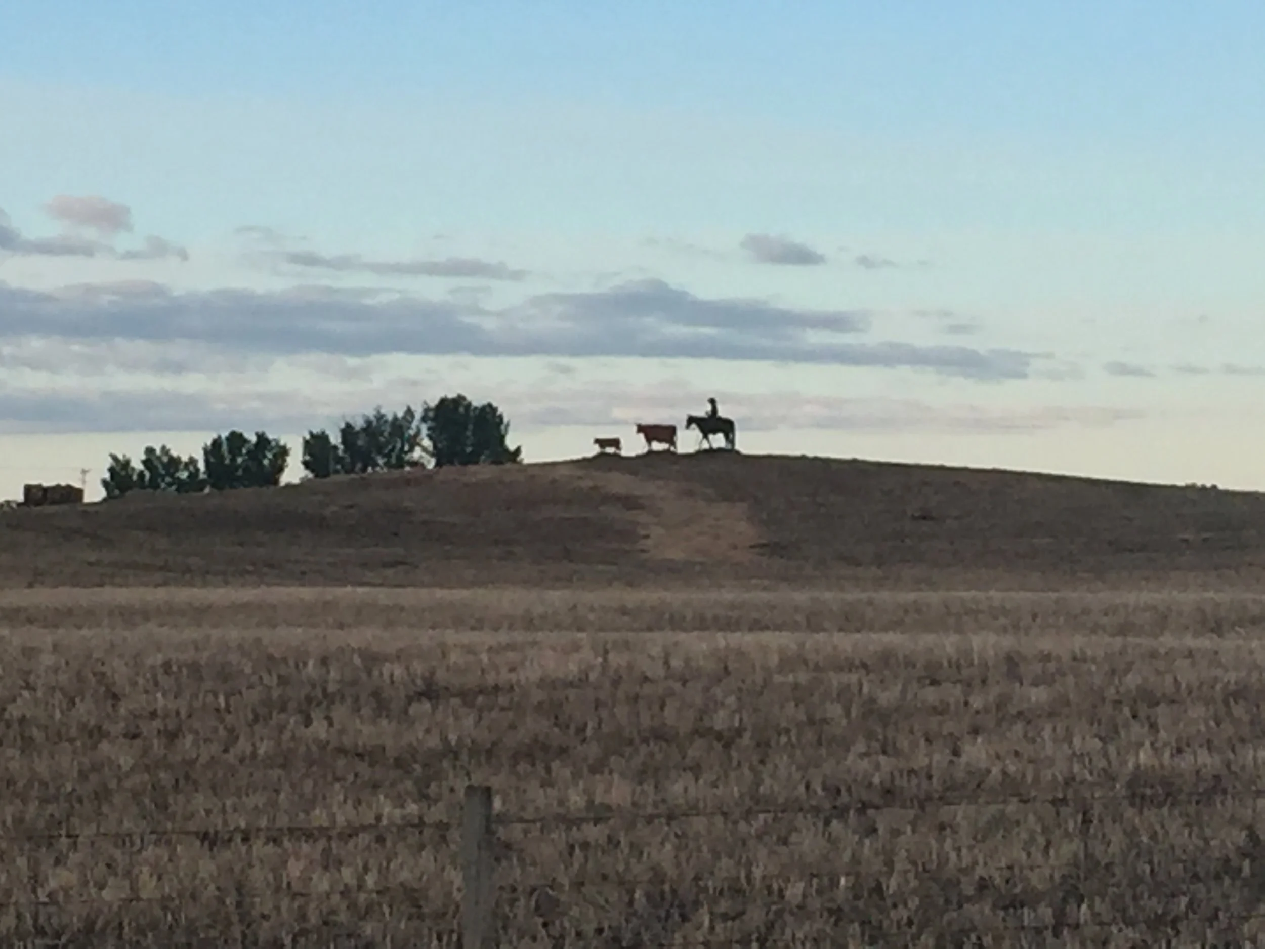
Today’s photo is obviously an Alberta ranch. The horse, rider, cow and calf are silhouettes, but appear so realistic on a pasture hill. Another place yesterday was an acreage, apparently an oil-field worker, who had constructed a huge archway of perhaps 12 inch black pipe. Without words, it was welcoming and showed pride in his &/or her profession.

Late this afternoon, we were invited to a farm by a couple we had met while wintering in Mexico. As an agronomist, I was thrilled to see their canola emerging and spring wheat attempting to establish itself in a cool spring.

However, the real treat was being taken to their private campground with a newer camper, expansive deck overlooking a small 28 foot deep lake stocked with trout. They are not large farmers and had allowed an area to be mined for sand and gravel. Rather than just letting weeds grow as if it was past usefulness, they asked their gravel contractor to reclaim an old pit by flattening an area for camper and parking. Then tapering the slope into the water’s edge. Trees and shrubs were allowed to fill in around the lawn that was well maintained.  Even a play ground was erected for their four grandchildren. What an enjoyable evening by being taken to a private family spot to enjoy peaceful conversation.

As I bike, I look forward to seeing businesses and farms that take pride in their place. We certainly found one this evening.

View Event →